17 Arley Avenue, Stockton Heath, Warrington, WA4 2AZ
About 17 Arley Avenue
17 Arley Avenue is a property in Stockton Heath, Warrington, Warrington (WA4 2AZ). It has council tax band C.
It hasn't traded since January 2000, a hold of 26 years that's notably long for the area. Only one transfer is on record with HM Land Registry, suggesting it has stayed in the same hands for a long time.
Everything you need to know about 17 Arley Avenue
The true value, the hidden risks and the full sale history, in one report.
Pick your report · every report is £14.99
One time fee only - money back guarantee

The data behind every report


Energy performance
No EPC on record
This property doesn't have an Energy Performance Certificate yet. An EPC is required to sell or let — and unlocks our automated valuation.
Get a survey for this property
Level 2 HomeBuyer Report
We've checked 10 risk factors against the available data for this property and believe a Level 2 HomeBuyer Report could be a suitable option for you.
Planning history
17 Arley Avenue has no planning applications on record.
A planning report still maps activity across the surrounding area and reads this property's extension & conversion potential.
Sales history & valuation
£72,000
Recorded with HM Land Registry.
Sales timeline
21 January 2000Most recent
£72,000
Median price across the last 5 sales in WA4 2AZ: £325,000 (2025–2019).
Nearby sales in WA4 2AZ
16 Arley Avenue, Stockton Heath, Warrington, WA4 2AZ
Sold Aug 2025
£307,0003 Arley Avenue, Stockton Heath, Warrington, WA4 2AZ
Sold Dec 2023
£325,0002 Arley Avenue, Stockton Heath, Warrington, WA4 2AZ
Sold Nov 2023
£365,0006 Arley Avenue, Stockton Heath, Warrington, WA4 2AZ
Sold Sept 2022
£420,0008 Arley Avenue, Stockton Heath, Warrington, WA4 2AZ
Sold Jun 2018
£325,000
Everything you need to know about 17 Arley Avenue
The true value, the hidden risks and the full sale history, in one report.
Pick your report · every report is £14.99
One time fee only - money back guarantee
The data behind every report
Similar properties nearby
1 Ackers Lane, Stockton Heath
WA4 2BZ
1 Alderley Road, Thelwall
WA4 2JB
1 Alexandra Road, Grappenhall
WA4 2EL
1 All Saints Drive, Thelwall
WA4 2JQ
1 Archer Avenue
WA4 2RW
1 Arley Avenue, Stockton Heath
WA4 2AZ
1 Ascot Close, Grappenhall
WA4 2QT
1 Ashley Close, Grappenhall
WA4 2RB
The neighbourhood at a glance
Crime
2/mo
Steady year-on-year across the wider district.
Nearest stop
0.2 km
Methodist Church — bus stop.
Closest school
0.4 km
St Thomas' CofE Primary School. 19 schools nearby.
Go deeper on the local area
A Local Area report breaks down crime, transport links, schools and air quality in depth.
Road noise across the postcode
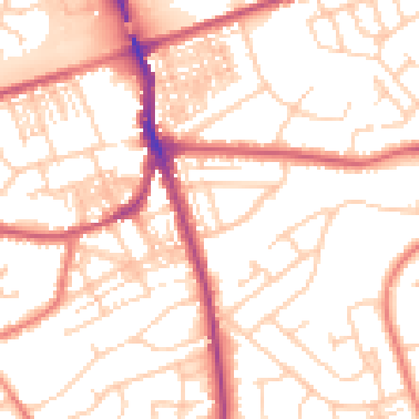
Daytime· 07:00 – 23:00
53.3dB

Night-time· 23:00 – 07:00
42.4dB