5 Bruntleigh Avenue, Warrington, WA4 1NU
About 5 Bruntleigh Avenue
5 Bruntleigh Avenue is a mid-terrace house in Warrington (WA4 1NU). It has a recorded floor area of 75 m² (around 807 sq ft), construction records dating it to 1950-1966 and council tax band A. The latest certificate (August 2018) shows an E (score 51), well below the UK norm with real room to improve. The recommended improvements would lift it to C (score 79), a 2-band jump.
Across 2018–2025, sale prices on this property compounded at -57.6% per year. Today's modelled estimate of £161,000 sits 40556.6% above the 2025 sale of £396. On a £-per-square-foot basis, the last sale (£0/sq ft) was about 99.6% below the postcode norm. Most recent transfer was January 2025 at £396 — fresh data. It lags the bulk of the postcode on energy efficiency (less efficient than 78% of similar EPCs).
Everything you need to know about 5 Bruntleigh Avenue
The true value, the hidden risks and the full sale history, in one report.
Pick your report · every report is £14.99
One time fee only - money back guarantee

The data behind every report


Energy performance
Recommended upgrades on file would lift this property by multiple EPC bands.
EPC Rating
Get a survey for this property
Level 3 Building Survey
Because the property has been extended more than once, we believe a Level 3 building survey should be considered.
From £820 · Includes VAT
Planning history
5 Bruntleigh Avenue has no planning applications on record.
A planning report still maps activity across the surrounding area and reads this property's extension & conversion potential.
Sales history & valuation
Latest sale on 5 Bruntleigh Avenue was the lowest on Land Registry record across the postcode.
£161,000
Modelled from EPC, postcode comparables and a sale-price growth of -57.6% per year over 6 years.
£396
Growth on file: -57.6% per year over 6 years.
Sales timeline
24 January 2025Most recent
£396
-99.7%8 September 2024
£120,000
+48.1%over 5 years9 November 2018
£81,000
Median price across the last 5 sales in WA4 1NU: £112,000 (2024–2017).
Nearby sales in WA4 1NU
10 Bruntleigh Avenue, Warrington, WA4 1NU
Sold Sept 2024
£180,0009 Bruntleigh Avenue, Warrington, WA4 1NU
Sold Oct 2022
£70012 Bruntleigh Avenue, Warrington, WA4 1NU
Sold Jun 2019
£112,0004 Bruntleigh Avenue, Warrington, WA4 1NU
Sold Mar 2018
£187,0001 Bruntleigh Avenue, Warrington, WA4 1NU
Sold Oct 2017
£110,000
Versus other Bruntleigh Avenue homes
Price per m² for 5 Bruntleigh Avenue lags the street by a wide margin.
Price per m²
£5
Street avg £1,392
Floor Area
75 m²
Street avg 69 m²
Habitable Rooms
5 rooms
Street avg 4 rooms
CO₂ Emissions
4.9 t/year
Street avg 3.6 t/year
Everything you need to know about 5 Bruntleigh Avenue
The true value, the hidden risks and the full sale history, in one report.
Pick your report · every report is £14.99
One time fee only - money back guarantee
The data behind every report
Similar properties nearby
The neighbourhood at a glance
Crime
2/mo
Steady year-on-year across the wider district.
Nearest stop
0.1 km
Nook Lane — bus stop.
Closest school
0.7 km
St Augustine's Catholic Primary School. 29 schools nearby.
Go deeper on the local area
A Local Area report breaks down crime, transport links, schools and air quality in depth.
Road noise across the postcode
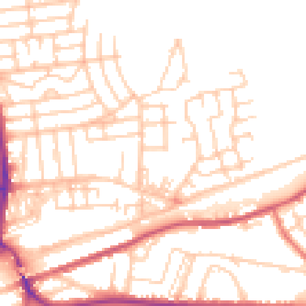
Daytime· 07:00 – 23:00
51.3dB

Night-time· 23:00 – 07:00
41.5dB