5 Birch Grove, Latchford, Warrington, WA4 1EQ
About 5 Birch Grove
5 Birch Grove is a property in Latchford, Warrington, Warrington (WA4 1EQ). It has council tax band B.
Held since November 1999 — that's 27 years off the open market, well above the local norm. Only one transfer is on record with HM Land Registry, suggesting it has stayed in the same hands for a long time. One planning record on file: an extension refused in 2016.
Everything you need to know about 5 Birch Grove
The true value, the hidden risks and the full sale history, in one report.
Pick your report · every report is £14.99
One time fee only - money back guarantee

The data behind every report


Energy performance
No EPC on record
This property doesn't have an Energy Performance Certificate yet. An EPC is required to sell or let — and unlocks our automated valuation.
Get a survey for this property
Level 2 HomeBuyer Report
We've checked 10 risk factors against the available data for this property and believe a Level 2 HomeBuyer Report could be a suitable option for you.
Planning history
1 application on record at 5 Birch Grove, Latchford, Warrington, WA4 1EQ
- Aug 2016ConservatoryFullOutcome in report
Extension: Single storey · Rear of property
Householder - Proposed single storey rear extension/ Orangery
Extension- Documents
- 9 docs on file
- Reference
- 2016/28426
Unlock 5 Birch Grove, Latchford, Warrington, WA4 1EQ's full planning history
You're seeing the shape of it. The report has the substance.
- Every decision — granted, refused or withdrawn (1 on record)
- All 1 application on this property in full
- The 9 documents, officer reports & conditions
- What the pattern means for extending or converting here
One time fee only - money back guarantee
Sales history & valuation
5 Birch Grove has been held in the same hands since before 2000.
£52,950
Recorded with HM Land Registry.
Sales timeline
29 November 1999Most recent
£52,950
Median price across the last 2 sales in WA4 1EQ: £121,250 (2011–2010).
Nearby sales in WA4 1EQ
Everything you need to know about 5 Birch Grove
The true value, the hidden risks and the full sale history, in one report.
Pick your report · every report is £14.99
One time fee only - money back guarantee
The data behind every report
Similar properties nearby
The neighbourhood at a glance
Crime
2/mo
Steady year-on-year across the wider district.
Nearest stop
0.3 km
Park Avenue — bus stop.
Closest school
0.3 km
Our Lady's Catholic Primary School, a Voluntary Academy. 29 schools nearby.
Go deeper on the local area
A Local Area report breaks down crime, transport links, schools and air quality in depth.
Road noise across the postcode
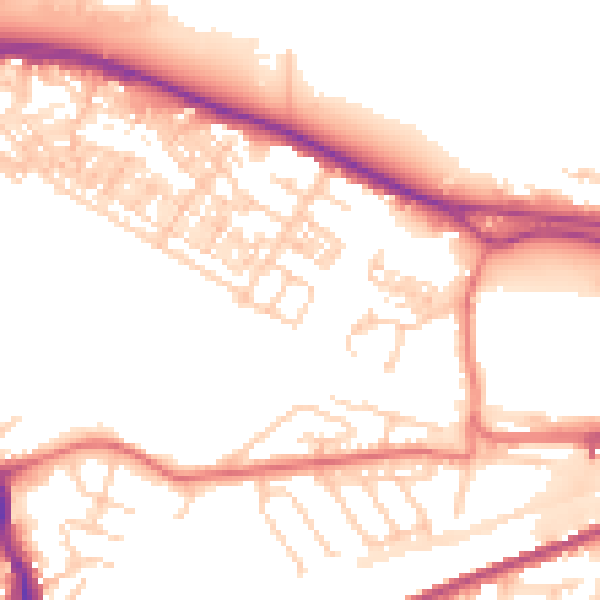
Daytime· 07:00 – 23:00
53.1dB

Night-time· 23:00 – 07:00
43.4dB