16 Canterbury Street, Warrington, WA4 1BU
About 16 Canterbury Street
16 Canterbury Street is a two-bedroom mid-terrace house in Warrington (WA4 1BU). It has a recorded floor area of 79 m² (around 850 sq ft), construction records dating it to 1900-1929 and council tax band A. The latest certificate (July 2021) shows a D (score 64), on the cusp of jumping into the C band. The recommended improvements would lift it to B (score 88), a 2-band jump.
It hasn't traded since April 2007, a hold of 19 years that's notably long for the area. Across the public record there are 4 sales, relatively high churn for a single property. That sale landed at the peak of the pre-credit-crunch market, which is a useful reference point when interpreting the price. Across 1995–2007, sale prices on this property compounded at 15% per year. Today's modelled estimate of £152,000 is 46.2% above the 2007 sale price. On a £-per-square-foot basis, the last sale (£122/sq ft) was about 26.9% above the typical sold price in the postcode.
What this property has
Inside
- Bedrooms2
- Bathrooms1
- Dining roomYes
- Utility roomYes
Outside
- Private gardenRear
Building
- Heating systemGas
- RefurbishedYes
Everything you need to know about 16 Canterbury Street
The true value, the hidden risks and the full sale history, in one report.
Pick your report · every report is £14.99
One time fee only - money back guarantee

The data behind every report


Energy performance
Recommended upgrades on file would lift this property by multiple EPC bands.
EPC Rating
Get a survey for this property
Level 3 Building Survey
Because the property was built before 1919 and has solid (non-cavity) walls, we believe a Level 3 building survey should be considered.
From £820 · Includes VAT
Planning history
16 Canterbury Street has no planning applications on record.
A planning report still maps activity across the surrounding area and reads this property's extension & conversion potential.
Sales history & valuation
Price for 16 Canterbury Street has grown more than fourfold since the 1995 starting point.
£152,000
Modelled from EPC, postcode comparables and a sale-price growth of 15.0% per year over 12 years.
£104,000
Growth on file: 15.0% per year over 12 years.
Sales timeline
11 April 2007Most recent
£104,000
+175.5%over 9 years28 February 1998
£37,750
+4.9%over 1 year26 June 1996
£36,000
+84.6%over 1 year23 April 1995
£19,500
Median price across the last 5 sales in WA4 1BU: £132,000 (2025–2022).
Nearby sales in WA4 1BU
19 Canterbury Street, Warrington, WA4 1BU
Sold Nov 2025
£165,00012 Canterbury Street, Warrington, WA4 1BU
Sold Oct 2023
£130,00015 Canterbury Street, Warrington, WA4 1BU
Sold Jun 2023
£145,0004 Canterbury Street, Warrington, WA4 1BU
Sold Sept 2022
£132,0006 Canterbury Street, Warrington, WA4 1BU
Sold Sept 2021
£131,000
Versus other Canterbury Street homes
16 Canterbury Street outperforms the street on years held by a wide margin.
Price per m²
£1,316
Street avg £1,398
Floor Area
79 m²
Street avg 85 m²
Habitable Rooms
4 rooms
Street avg 4 rooms
CO₂ Emissions
3.5 t/year
Street avg 3.9 t/year
Everything you need to know about 16 Canterbury Street
The true value, the hidden risks and the full sale history, in one report.
Pick your report · every report is £14.99
One time fee only - money back guarantee
The data behind every report
Similar properties nearby
1 Clelland Street
WA4 1ET
1 Clearwater Quays
WA4 1DE
1 Bruntleigh Avenue
WA4 1NU
1 Brook Avenue
WA4 1SW
1 Charlton Street
WA4 1LX
1 Bridge Avenue
WA4 1RJ
1 Beech Grove
WA4 1EG
1 Brindley Avenue
WA4 1RU
The neighbourhood at a glance
Crime
2/mo
Steady year-on-year across the wider district.
Nearest stop
0.1 km
St Mary's Street — bus stop.
Closest school
0.2 km
Latchford St James CofE Primary School. 32 schools nearby.
Go deeper on the local area
A Local Area report breaks down crime, transport links, schools and air quality in depth.
Road noise across the postcode
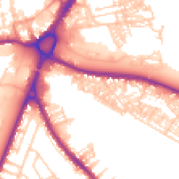
Daytime· 07:00 – 23:00
55.3dB

Night-time· 23:00 – 07:00
45.8dB