9 Centurion Close, Birchwood, Warrington, WA3 6NE
About 9 Centurion Close
9 Centurion Close is a three-bedroom semi-detached house in Birchwood, Warrington, Warrington (WA3 6NE). It has a recorded floor area of 90 m² (around 969 sq ft), construction records dating it to 1983-1990 and council tax band B. The latest certificate (November 2013) shows a C (score 70). The recommended improvements would push it to B (score 84). The latest certificate is from November 2013, so improvements made since then won't be reflected.
At 90 m² the property is well over the postcode median (50 m² across 13 EPCs), placing it in the larger end of the local stock. Its energy rating outperforms most of the postcode (better than 77% of similar EPCs). Today's modelled estimate of £197,000 sits 109.6% above the 2014 sale of £94,000. Last sold in February 2014, so it's been off the market for around 12 years.
What this property has
Inside
- Bedrooms3
Everything you need to know about 9 Centurion Close
The true value, the hidden risks and the full sale history, in one report.
Pick your report · every report is £14.99
One time fee only - money back guarantee

The data behind every report


Energy performance
9 Centurion Close's EPC is over a decade old — improvements since won't be reflected.
EPC Expired
This certificate is over 10 years old and is no longer valid.Expired 10 Nov 2023
EPC Rating
Get a survey for this property
Level 2 HomeBuyer Report
We've checked 10 risk factors against the available data for this property and believe a Level 2 HomeBuyer Report could be a suitable option for you.
From £495 · Includes VAT
Planning history
9 Centurion Close has no planning applications on record.
A planning report still maps activity across the surrounding area and reads this property's extension & conversion potential.
Sales history & valuation
9 Centurion Close valuation sits well clear of the typical sold price in this postcode.
£197,000
Modelled from EPC, postcode comparables.
£94,000
Recorded with HM Land Registry.
Sales timeline
14 February 2014Most recent
£94,000
Median price across the last 5 sales in WA3 6NE: £95,000 (2025–2013).
Nearby sales in WA3 6NE
Versus other Centurion Close homes
On years held, 9 Centurion Close stands well clear of the street.
Price per m²
£1,044
Street avg £1,203
Floor Area
90 m²
Street avg 78 m²
Habitable Rooms
5 rooms
Street avg 4 rooms
CO₂ Emissions
2.8 t/year
Street avg 2.8 t/year
Everything you need to know about 9 Centurion Close
The true value, the hidden risks and the full sale history, in one report.
Pick your report · every report is £14.99
One time fee only - money back guarantee
The data behind every report
Similar properties nearby
1 Armstrong Close, Birchwood
WA3 6DH
1 Bowland Close, Birchwood
WA3 6TJ
1 Barham Court, Birchwood
WA3 6ND
1 Burrough Close, Birchwood
WA3 6QF
1 Bramshill Close, Birchwood
WA3 6TY
1 Colebrooke Close, Birchwood
WA3 6RY
1 Dove Close, Birchwood
WA3 6QH
1 Charnwood Close, Birchwood
WA3 6TG
The neighbourhood at a glance
Crime
1/mo
Steady year-on-year across the wider district.
Nearest stop
0.0 km
Carphone Warehouse — bus stop.
Closest school
0.5 km
Locking Stumps Community Primary School. 16 schools nearby.
Go deeper on the local area
A Local Area report breaks down crime, transport links, schools and air quality in depth.
Road noise across the postcode
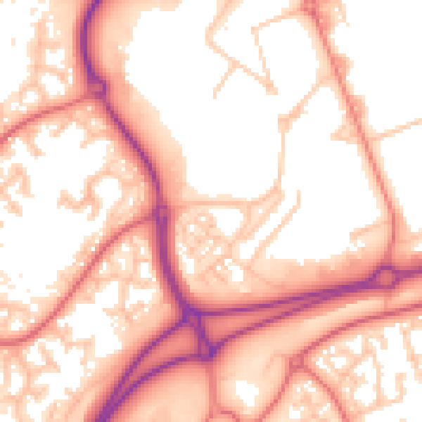
Daytime· 07:00 – 23:00
56.4dB
Night-time· 23:00 – 07:00
47.5dB