4 Bainbridge Avenue, Lowton, Warrington, WA3 2DJ
About 4 Bainbridge Avenue
4 Bainbridge Avenue is a four-bedroom detached house in Lowton, Warrington, Warrington (WA3 2DJ). It has a recorded floor area of 115 m² (around 1238 sq ft), construction records dating it to 1996-2002 and council tax band E. The latest certificate (May 2021) shows a D (score 67), on the cusp of jumping into the C band. The rating has held steady at D across 2 certificates since May 2009. Between certificates, lighting went from Good to Very Good. The recommended improvements would lift it to B (score 82), a 2-band jump. Other recorded features include a conservatory.
At 115 m² the property is well over the postcode median (65 m² across 12 EPCs), placing it in the larger end of the local stock. Across 1997–2021, sale prices on this property compounded at 4.7% per year. Today's modelled estimate of £399,000 is 26.7% above the 2021 sale price. On a £-per-square-foot basis, the last sale (£254/sq ft) was about 52.8% above the typical sold price in the postcode. Last sale on file: £315,000 in September 2021. That sale was during the post-pandemic price surge, when transactions cleared materially above pre-2020 trend.
What this property has
Inside
- Bedrooms4
- Bathrooms3
- EnsuiteYes
- ConservatoryYes
Outside
- Private gardenRear
- GarageYes
Everything you need to know about 4 Bainbridge Avenue
The true value, the hidden risks and the full sale history, in one report.
Pick your report · every report is £14.99
One time fee only - money back guarantee

The data behind every report


Energy performance
Recommended upgrades on file would lift this property by multiple EPC bands.
EPC Rating
Property Improvements
Changes detected from historical EPC data
Heating controls upgraded for better temperature management
More low energy lighting installed
Get a survey for this property
Level 2 HomeBuyer Report
We've checked 10 risk factors against the available data for this property and believe a Level 2 HomeBuyer Report could be a suitable option for you.
From £595 · Includes VAT
Planning history
4 Bainbridge Avenue has no planning applications on record.
A planning report still maps activity across the surrounding area and reads this property's extension & conversion potential.
Sales history & valuation
4 Bainbridge Avenue has more than tripled in price since its earliest registered sale in 1997.
£399,000
Modelled from EPC, postcode comparables and a sale-price growth of 4.7% per year over 24 years.
£315,000
Growth on file: 4.7% per year over 24 years.
Sales timeline
29 September 2021Most recent
£315,000
+203.0%over 24 years29 September 1997
£103,950
Median price across the last 5 sales in WA3 2DJ: £227,500 (2025–2023).
Nearby sales in WA3 2DJ
20 Bainbridge Avenue, Lowton, Warrington, WA3 2DJ
Sold Jun 2025
£227,50058 Bainbridge Avenue, Lowton, Warrington, WA3 2DJ
Sold Jul 2024
£393,00056 Bainbridge Avenue, Lowton, Warrington, WA3 2DJ
Sold Jul 2024
£480,0005 Bainbridge Avenue, Lowton, Warrington, WA3 2DJ
Sold May 2023
£210,0001 Bainbridge Avenue, Lowton, Warrington, WA3 2DJ
Sold Jun 2021
£240,000
Versus other Bainbridge Avenue homes
CO₂ Emissions for 4 Bainbridge Avenue lags the street by a wide margin.
Price per m²
£2,739
Street avg £2,593
Floor Area
115 m²
Street avg 74 m²
Habitable Rooms
7 rooms
Street avg 4 rooms
CO₂ Emissions
4.4 t/year
Street avg 2.5 t/year
Everything you need to know about 4 Bainbridge Avenue
The true value, the hidden risks and the full sale history, in one report.
Pick your report · every report is £14.99
One time fee only - money back guarantee
The data behind every report
Similar properties nearby
1 Amis Grove, Lowton
WA3 2LL
1 Bainbridge Avenue, Lowton
WA3 2DJ
1 Ballantyne Way, Lowton
WA3 2LS
1 Bourne Avenue, Lowton
WA3 2QB
1 Beech Avenue, Lowton
WA3 2BZ
1 Broughton Avenue, Lowton
WA3 2PU
1 Broadleaf Meadow, Lowton
WA3 2UR
1 Barnton Close, Lowton
WA3 2RS
The neighbourhood at a glance
Daytime road noise here sits well below conversation level — a quiet pocket of the postcode.
Crime
1/mo
Steady year-on-year across the wider district.
Nearest stop
0.2 km
Fir Tree Walk — bus stop.
Closest school
0.6 km
Lowton Junior and Infant School. 12 schools nearby.
Go deeper on the local area
A Local Area report breaks down crime, transport links, schools and air quality in depth.
Road noise across the postcode
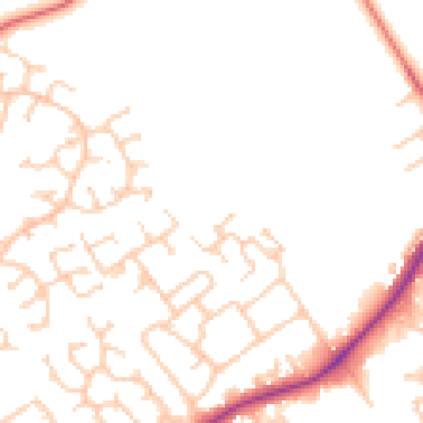
Daytime· 07:00 – 23:00
49.1dB

Night-time· 23:00 – 07:00
41.1dB