10 Bainbridge Avenue, Lowton, Warrington, WA3 2DJ
About 10 Bainbridge Avenue
10 Bainbridge Avenue is a three-bedroom semi-detached house in Lowton, Warrington, Warrington (WA3 2DJ). It has a recorded floor area of 58 m² (around 624 sq ft), construction records dating it to 1991-1995 and council tax band B. The latest certificate (April 2024) shows a D (score 68), on the cusp of jumping into the C band. The recommended improvements would lift it to B (score 90), a 2-band jump.
Untraded for 21 years, with the last transfer in September 2005. Across 1995–2005, sale prices on this property compounded at 8.8% per year. Today's modelled estimate of £210,000 sits 88.3% above the 2005 sale of £111,500. At 58 m² it's 17.1% smaller than the typical home in the postcode (70 m² median across 12 EPCs).
What this property has
Inside
- Bedrooms3
- Bathrooms2
- Open-plan layoutYes
- Dining roomYes
- Utility roomYes
- CloakroomYes
- EnsuiteYes
Outside
- Private gardenYes
- ParkingYes
Everything you need to know about 10 Bainbridge Avenue
The true value, the hidden risks and the full sale history, in one report.
Pick your report · every report is £14.99
One time fee only - money back guarantee

The data behind every report


Energy performance
Recommended upgrades on file would lift this property by multiple EPC bands.
EPC Rating
Get a survey for this property
Level 2 HomeBuyer Report
We've checked 10 risk factors against the available data for this property and believe a Level 2 HomeBuyer Report could be a suitable option for you.
From £545 · Includes VAT
Planning history
10 Bainbridge Avenue has no planning applications on record.
A planning report still maps activity across the surrounding area and reads this property's extension & conversion potential.
Sales history & valuation
Sale price has at least doubled since 1995.
£210,000
Modelled from EPC, postcode comparables and a sale-price growth of 8.8% per year over 10 years.
£111,500
Growth on file: 8.8% per year over 10 years.
Sales timeline
1 September 2005Most recent
£111,500
+139.8%over 6 years29 June 1999
£46,500
-5.0%over 3 years24 November 1995
£48,950
Median price across the last 5 sales in WA3 2DJ: £227,500 (2025–2023).
Nearby sales in WA3 2DJ
20 Bainbridge Avenue, Lowton, Warrington, WA3 2DJ
Sold Jun 2025
£227,50058 Bainbridge Avenue, Lowton, Warrington, WA3 2DJ
Sold Jul 2024
£393,00056 Bainbridge Avenue, Lowton, Warrington, WA3 2DJ
Sold Jul 2024
£480,0005 Bainbridge Avenue, Lowton, Warrington, WA3 2DJ
Sold May 2023
£210,0004 Bainbridge Avenue, Lowton, Warrington, WA3 2DJ
Sold Sept 2021
£315,000
Versus other Bainbridge Avenue homes
Years Held for 10 Bainbridge Avenue runs comfortably ahead of the street norm.
Price per m²
£1,922
Street avg £2,661
Floor Area
58 m²
Street avg 79 m²
Habitable Rooms
4 rooms
Street avg 5 rooms
CO₂ Emissions
2.5 t/year
Street avg 2.7 t/year
Everything you need to know about 10 Bainbridge Avenue
The true value, the hidden risks and the full sale history, in one report.
Pick your report · every report is £14.99
One time fee only - money back guarantee
The data behind every report
Similar properties nearby
1 Beech Avenue, Lowton
WA3 2BZ
1 Bourne Avenue, Lowton
WA3 2QB
1 Ballantyne Way, Lowton
WA3 2LS
1 Bainbridge Avenue, Lowton
WA3 2DJ
1 Amis Grove, Lowton
WA3 2LL
1 Burnfell, Lowton
WA3 2QW
1 Bramblefield Close, Lowton
WA3 2UQ
1 Birch Tree Road, Lowton
WA3 2NA
The neighbourhood at a glance
Daytime road noise here sits well below conversation level — a quiet pocket of the postcode.
Crime
1/mo
Steady year-on-year across the wider district.
Nearest stop
0.2 km
Fir Tree Walk — bus stop.
Closest school
0.6 km
Lowton Junior and Infant School. 12 schools nearby.
Go deeper on the local area
A Local Area report breaks down crime, transport links, schools and air quality in depth.
Road noise across the postcode
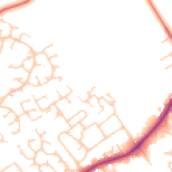
Daytime· 07:00 – 23:00
49.1dB

Night-time· 23:00 – 07:00
41.1dB