14 Bodden Street, Lowton, Warrington, WA3 1DX
About 14 Bodden Street
14 Bodden Street is a mid-terrace house in Lowton, Warrington, Warrington (WA3 1DX). It has a recorded floor area of 82 m² (around 883 sq ft), construction records dating it to 1900-1929 and council tax band A. The latest certificate (July 2013) shows a D (score 67), on the cusp of jumping into the C band. The recommended improvements would lift it to B (score 83), a 2-band jump. The latest certificate is from July 2013, so improvements made since then won't be reflected.
Held since June 2004 — that's 22 years off the open market, well above the local norm. Across 2001–2004, sale prices on this property compounded at 25.1% per year. Today's modelled estimate of £152,000 sits 84.2% above the 2004 sale of £82,500. On a £-per-square-foot basis, the last sale (£93/sq ft) was about 16.4% below the postcode norm. At 82 m² it's 17.1% larger than the typical home in the postcode (70 m² median across 25 EPCs).
Everything you need to know about 14 Bodden Street
The true value, the hidden risks and the full sale history, in one report.
Pick your report · every report is £14.99
One time fee only - money back guarantee

The data behind every report


Energy performance
Recommended upgrades on file would lift this property by multiple EPC bands.
EPC Expired
This certificate is over 10 years old and is no longer valid.Expired 14 Jul 2023
EPC Rating
Get a survey for this property
Level 3 Building Survey
Because the property was built before 1919, we believe a Level 3 building survey should be considered.
From £820 · Includes VAT
Planning history
14 Bodden Street has no planning applications on record.
A planning report still maps activity across the surrounding area and reads this property's extension & conversion potential.
Sales history & valuation
14 Bodden Street has more than doubled in price since the earliest registered sale in 2001.
£152,000
Modelled from EPC, postcode comparables and a sale-price growth of 25.1% per year over 3 years.
£82,500
Growth on file: 25.1% per year over 3 years.
Sales timeline
10 June 2004Most recent
£82,500
+22.2%over 10 months14 August 2003
£67,500
+73.1%over 2 years2 February 2001
£38,995
Median price across the last 5 sales in WA3 1DX: £139,950 (2024–2022).
Nearby sales in WA3 1DX
1 Bodden Street, Lowton, Warrington, WA3 1DX
Sold Feb 2024
£169,99522 Bodden Street, Lowton, Warrington, WA3 1DX
Sold Nov 2023
£145,00042 Bodden Street, Lowton, Warrington, WA3 1DX
Sold Jun 2023
£115,00015 Bodden Street, Lowton, Warrington, WA3 1DX
Sold Jul 2022
£129,00032 Bodden Street, Lowton, Warrington, WA3 1DX
Sold Mar 2022
£139,950
Versus other Bodden Street homes
14 Bodden Street outperforms the street on floor area by a wide margin.
Price per m²
£1,006
Street avg £1,388
Floor Area
82 m²
Street avg 72 m²
Habitable Rooms
4 rooms
Street avg 4 rooms
CO₂ Emissions
3.2 t/year
Street avg 3.1 t/year
Everything you need to know about 14 Bodden Street
The true value, the hidden risks and the full sale history, in one report.
Pick your report · every report is £14.99
One time fee only - money back guarantee
The data behind every report
Similar properties nearby
1 Carr Lane, Lowton
WA3 1AF
1 Chapel Terrace, Lowton
WA3 1EF
1 Gregory Row, Lowton
WA3 1DJ
1 Kane Court, Sandy Lane, Lowton
WA3 1DA
1 Kay Gardens, Lowton
WA3 1AG
1 Bodden Street, Lowton
WA3 1DX
1 Carr Green, Lowton
WA3 1EQ
1 Heathmoor Avenue, Lowton
WA3 1HP
The neighbourhood at a glance
Daytime road noise here sits well below conversation level — a quiet pocket of the postcode.
Crime
1/mo
Steady year-on-year across the wider district.
Nearest stop
0.3 km
Sandy Lane — bus stop.
Closest school
0.3 km
Lowton St Mary's CofE (Voluntary Aided) Primary School. 13 schools nearby.
Go deeper on the local area
A Local Area report breaks down crime, transport links, schools and air quality in depth.
Road noise across the postcode
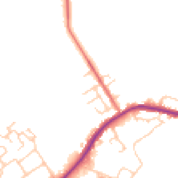
Daytime· 07:00 – 23:00
47.1dB

Night-time· 23:00 – 07:00
41.1dB