15 Bridge Road, Woolston, Warrington, WA1 4AT
About 15 Bridge Road
15 Bridge Road is an end-of-terrace house in Woolston, Warrington, Warrington (WA1 4AT). It has a recorded floor area of 70 m² (around 753 sq ft), construction records dating it to 1930-1949 and council tax band A. The latest certificate (March 2014) shows a G (score 17), near the bottom of the EPC scale. The recommended improvements would lift it to B (score 82), a 5-band jump. Main heating runs on house coal. The latest certificate is from March 2014, so improvements made since then won't be reflected.
On energy efficiency it sits in the bottom 10% of properties in this postcode — significant headroom for improvement.
Everything you need to know about 15 Bridge Road
The true value, the hidden risks and the full sale history, in one report.
30-day money-back guarantee

The data behind every report


Energy performance
15 Bridge Road sits at the bottom of the postcode for energy efficiency — meaningful headroom to improve.
EPC Expired
This certificate is over 10 years old and is no longer valid.Expired 21 Mar 2024
EPC Rating
Planning history
15 Bridge Road has no planning applications on record.
Notable planning nearby
3applications of note in the surrounding area
We flagged 1 thing worth checking at 15 Bridge Road
Independent checks surfaced things a buyer would want to understand before offering. The report explains each one in full, with the underlying data and what to ask.
- Larger development activity nearby
30-day money-back guarantee
Sales history & valuation
15 Bridge Road has no Land Registry sales on file, suggesting it has stayed in the same hands since registration began.
£166,000
Modelled from EPC, postcode comparables.
No sales recorded with HM Land Registry
That can mean the property has never traded since the registry began publishing in 1995, was a new build that hasn't been registered yet, or is held in the same hands long-term.
Median price across the last 5 sales in WA1 4AT: £47,500 (2024–1995).
Nearby sales in WA1 4AT
5 Bridge Road, Woolston, Warrington, WA1 4AT
Sold Oct 2024
£195,00011 Bridge Road, Woolston, Warrington, WA1 4AT
Sold May 2021
£160,0004 Bridge Road, Woolston, Warrington, WA1 4AT
Sold Feb 2002
£45,7509 Bridge Road, Woolston, Warrington, WA1 4AT
Sold Jun 1996
£47,50010 Bridge Road, Woolston, Warrington, WA1 4AT
Sold Jul 1995
£47,000
Versus other Bridge Road homes
15 Bridge Road is notably below the street on epc rating.
EPC Rating
17 (G)
Street avg 57 (D)
Floor Area
70 m²
Street avg 90 m²
CO₂ Emissions
7.6 t/year
Street avg 4.6 t/year
Habitable Rooms
4 rooms
Street avg 4 rooms
Everything you need to know about 15 Bridge Road
The true value, the hidden risks and the full sale history, in one report.
30-day money-back guarantee
The data behind every report
Similar properties nearby
1 Barnack Close, Padgate
WA1 4JH
1 Brickhurst Way, Woolston
WA1 4LG
1 Cliftonville Road, Woolston
WA1 4BD
1 Durham Close, Woolston
WA1 4DZ
1 Baron Close, Woolston
WA1 4EU
1 Elm Tree Avenue, Padgate
WA1 4HZ
1 Epping Drive, Woolston
WA1 4QL
1 Clifton Close, Woolston
WA1 4BE
The neighbourhood at a glance
Crime
3/mo
Steady year-on-year across the wider district.
Nearest stop
0.1 km
Greymist Avenue — bus stop.
Closest school
0.3 km
Woolston Community Primary School. 26 schools nearby.
Go deeper on the local area
The full report breaks down crime, transport links, schools and air quality in depth.
Road noise across the postcode
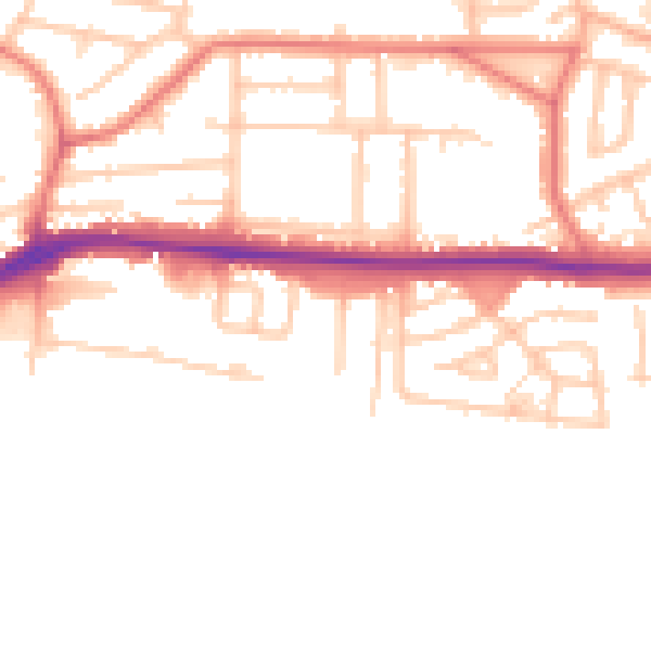
Daytime· 07:00 – 23:00
51.4dB

Night-time· 23:00 – 07:00
42.9dB