174a, Padgate Lane, Warrington, WA1 3SP
About 174a
174a is a mid-terrace house in Warrington (WA1 3SP). It has a recorded floor area of 48 m² (around 517 sq ft) and construction records dating it to 1930-1949. At 48 m² this is the 4th smallest of 12 units on EPC record in the building, where floor areas span 39–142 m². The building's EPC ratings span E to C, with this unit at the bottom. The latest certificate (August 2016) shows an E (score 40), well below the UK norm with real room to improve. The recommended improvements would lift it to C (score 71), a 2-band jump.
Held since June 2002 — that's 24 years off the open market, well above the local norm. Across 2000–2002, sale prices on this property compounded at 16.5% per year. Today's modelled estimate of £131,000 sits 162% above the 2002 sale of £50,000. At 48 m² it sits well below the postcode median (91 m² across 11 EPCs), making it one of the more compact homes locally.
Everything you need to know about 174a
The true value, the hidden risks and the full sale history, in one report.
30-day money-back guarantee

The data behind every report


Energy performance
Recommended upgrades on file would lift this property by multiple EPC bands.
EPC Rating
Planning history
174a has no planning applications on record.
Notable planning nearby
3applications of note in the surrounding area
We flagged 1 thing worth checking at 174a
Independent checks surfaced things a buyer would want to understand before offering. The report explains each one in full, with the underlying data and what to ask.
- Larger development activity nearby
30-day money-back guarantee
Sales history & valuation
174a's estimated value is more than triple its earliest registered sale price (2000).
£131,000
Modelled from EPC, postcode comparables and a sale-price growth of 16.5% per year over 2 years.
£50,000
Growth on file: 16.5% per year over 2 years.
Sales timeline
27 June 2002Most recent
£50,000
+42.9%over 2 years25 February 2000
£35,000
Median price across the last 5 sales in WA1 3SP: £125,000 (2024–2015).
Nearby sales in WA1 3SP
Versus other Padgate Lane homes
On floor area, 174a stands well clear of the street.
EPC Rating
40 (E)
Street avg 54 (E)
Floor Area
48 m²
Street avg 42 m²
CO₂ Emissions
4.4 t/year
Street avg 2.8 t/year
Habitable Rooms
3 rooms
Street avg 2 rooms
Everything you need to know about 174a
The true value, the hidden risks and the full sale history, in one report.
30-day money-back guarantee
The data behind every report
Similar properties nearby
The neighbourhood at a glance
Crime
3/mo
Steady year-on-year across the wider district.
Nearest stop
0.0 km
Padgate Stores — bus stop.
Closest school
0.3 km
Oakwood Avenue Community Primary School. 37 schools nearby.
Go deeper on the local area
The full report breaks down crime, transport links, schools and air quality in depth.
Road noise across the postcode
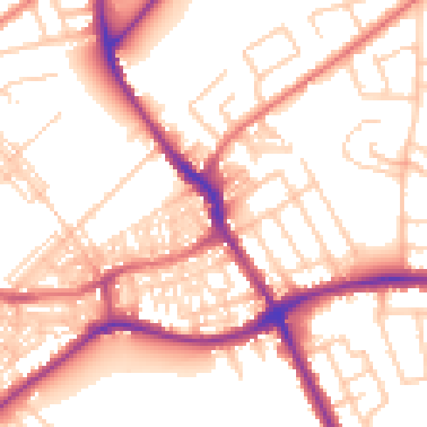
Daytime· 07:00 – 23:00
55.1dB

Night-time· 23:00 – 07:00
44.7dB