10 Bruche Drive, Padgate, Warrington, WA1 3JX
About 10 Bruche Drive
10 Bruche Drive is a semi-detached house in Padgate, Warrington, Warrington (WA1 3JX). It has a recorded floor area of 90 m² (around 969 sq ft), construction records dating it to 1930-1949 and council tax band C. The latest certificate (May 2023) shows a D (score 67), on the cusp of jumping into the C band. The recommended improvements would lift it to B (score 81), a 2-band jump.
Today's modelled estimate of £283,000 is 13.2% above the 2023 sale price. On a £-per-square-foot basis, the last sale (£258/sq ft) was about 54.8% above the typical sold price in the postcode. Sold June 2023 for £250,000.
Everything you need to know about 10 Bruche Drive
The true value, the hidden risks and the full sale history, in one report.
30-day money-back guarantee

The data behind every report


Energy performance
Recommended upgrades on file would lift this property by multiple EPC bands.
EPC Rating
Planning history
10 Bruche Drive has no planning applications on record.
Notable planning nearby
3applications of note in the surrounding area
We flagged 1 thing worth checking at 10 Bruche Drive
Independent checks surfaced things a buyer would want to understand before offering. The report explains each one in full, with the underlying data and what to ask.
- Larger development activity nearby
30-day money-back guarantee
Sales history & valuation
10 Bruche Drive valuation sits well clear of the typical sold price in this postcode.
£283,000
Modelled from EPC, postcode comparables.
£250,000
Recorded with HM Land Registry.
Sales timeline
15 June 2023Most recent
£250,000
Median price across the last 5 sales in WA1 3JX: £195,000 (2025–2022).
Nearby sales in WA1 3JX
34 Bruche Drive, Padgate, Warrington, WA1 3JX
Sold Mar 2025
£180,00029 Bruche Drive, Padgate, Warrington, WA1 3JX
Sold Mar 2025
£330,00040 Bruche Drive, Padgate, Warrington, WA1 3JX
Sold Jul 2024
£185,0001 Bruche Drive, Padgate, Warrington, WA1 3JX
Sold Mar 2023
£315,0006 Bruche Drive, Padgate, Warrington, WA1 3JX
Sold Apr 2022
£195,000
Versus other Bruche Drive homes
Years Held for 10 Bruche Drive lags the street by a wide margin.
Price per m²
£2,778
Street avg £2,230
Floor Area
90 m²
Street avg 90 m²
Habitable Rooms
5 rooms
Street avg 5 rooms
CO₂ Emissions
3.5 t/year
Street avg 4.3 t/year
Everything you need to know about 10 Bruche Drive
The true value, the hidden risks and the full sale history, in one report.
30-day money-back guarantee
The data behind every report
Similar properties nearby
1 Beresford Street
WA1 3SA
1 Belgrave Avenue, Padgate
WA1 3JN
1 Almond Grove, Paddington
WA1 3HA
1 Bridlemere Court, Padgate
WA1 3DY
1 Brownhill Drive, Padgate
WA1 3DP
1 Cedar Grove, Paddington
WA1 3HE
1 Bowdon Close, Padgate
WA1 3JW
1 Bennett Avenue
WA1 3PQ
The neighbourhood at a glance
Rail-style transport is unusually close for this postcode.
Crime
3/mo
Steady year-on-year across the wider district.
Nearest stop
0.2 km
St Oswalds Church — bus stop.
Closest school
0.1 km
St Oswald's Catholic Primary School. 35 schools nearby.
Go deeper on the local area
The full report breaks down crime, transport links, schools and air quality in depth.
Road noise across the postcode
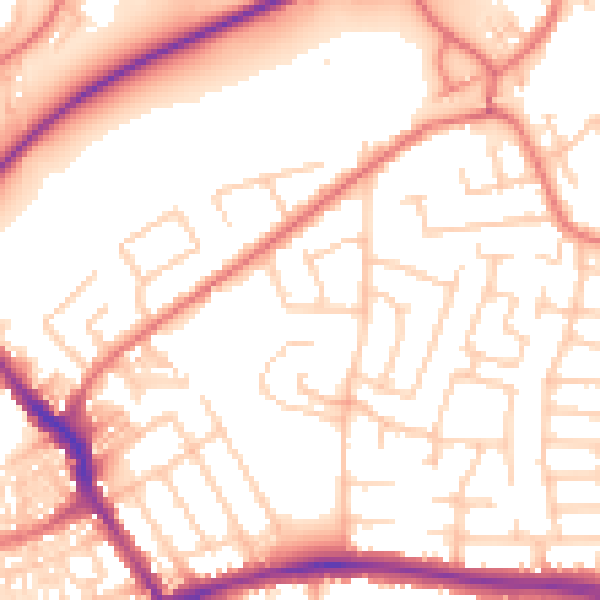
Daytime· 07:00 – 23:00
54.7dB

Night-time· 23:00 – 07:00
44.1dB