7 Pine Grove, Paddington, Warrington, WA1 3HF
About 7 Pine Grove
7 Pine Grove is a semi-detached house in Paddington, Warrington, Warrington (WA1 3HF). It has a recorded floor area of 59 m² (around 635 sq ft), construction records dating it to 1930-1949 and council tax band B. The latest certificate (February 2026) shows a D (score 67), on the cusp of jumping into the C band. The recommended improvements would push it to C (score 75). This certificate was lodged in the last six months, so the rating reflects current condition.
Everything you need to know about 7 Pine Grove
The true value, the hidden risks and the full sale history, in one report.
30-day money-back guarantee

The data behind every report


Energy performance
The EPC has just been inspected, so the rating reflects current condition.
EPC Rating
Planning history
7 Pine Grove has no planning applications on record.
Notable planning nearby
3applications of note in the surrounding area
We flagged 1 thing worth checking at 7 Pine Grove
Independent checks surfaced things a buyer would want to understand before offering. The report explains each one in full, with the underlying data and what to ask.
- Larger development activity nearby
30-day money-back guarantee
Sales history & valuation
7 Pine Grove has no Land Registry sales on file, suggesting it has stayed in the same hands since registration began.
No sales recorded with HM Land Registry
That can mean the property has never traded since the registry began publishing in 1995, was a new build that hasn't been registered yet, or is held in the same hands long-term.
Median price across the last 5 sales in WA1 3HF: £183,000 (2023–2015).
Nearby sales in WA1 3HF
21 Pine Grove, Paddington, Warrington, WA1 3HF
Sold Nov 2023
£260,00016 Pine Grove, Paddington, Warrington, WA1 3HF
Sold Oct 2019
£207,5003 Pine Grove, Paddington, Warrington, WA1 3HF
Sold Jul 2019
£183,00017 Pine Grove, Paddington, Warrington, WA1 3HF
Sold Mar 2018
£165,00015 Pine Grove, Paddington, Warrington, WA1 3HF
Sold Oct 2015
£160,000
Versus other Pine Grove homes
CO₂ Emissions for 7 Pine Grove runs comfortably ahead of the street norm.
EPC Rating
67 (D)
Street avg 63 (D)
Floor Area
59 m²
Street avg 62 m²
CO₂ Emissions
2.3 t/year
Street avg 3.3 t/year
Habitable Rooms
3 rooms
Street avg 4 rooms
Everything you need to know about 7 Pine Grove
The true value, the hidden risks and the full sale history, in one report.
30-day money-back guarantee
The data behind every report
Similar properties nearby
The neighbourhood at a glance
Rail-style transport is unusually close for this postcode.
Crime
3/mo
Steady year-on-year across the wider district.
Nearest stop
0.3 km
Green Lane Shops — bus stop.
Closest school
0.2 km
Bruche Primary School Academy. 34 schools nearby.
Go deeper on the local area
The full report breaks down crime, transport links, schools and air quality in depth.
Road noise across the postcode
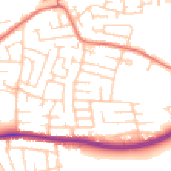
Daytime· 07:00 – 23:00
52.8dB

Night-time· 23:00 – 07:00
42.3dB