14 Beaconsfield Road, Ealing, London, W5 5JE
About 14 Beaconsfield Road
14 Beaconsfield Road is a three-bedroom mid-terrace house in Ealing, London, London (W5 5JE). It has a recorded floor area of 107 m² (around 1152 sq ft), construction records dating it to 1930-1949 and council tax band F. The latest certificate (November 2018) shows an E (score 53), well below the UK norm with real room to improve. The recommended improvements would lift it to B (score 85), a 3-band jump. Other recorded features include notable views. Period features are noted in the property record. Our model identifies extension potential, subject to local planning policy.
One planning record on file: an extension approved in 2019. Past consents include an extension, meaningful when judging how the property has evolved. At 107 m² it's 17.7% smaller than the typical home in the postcode (130 m² median across 21 EPCs). It lags the bulk of the postcode on energy efficiency (less efficient than 71% of similar EPCs). Today's modelled estimate of £1,122,000 is 20.6% above the 2019 sale price. On a £-per-square-foot basis, the last sale (£807/sq ft) was about 44.6% above the typical sold price in the postcode. Most recent transfer: October 2019 at £930,000.
Know exactly what you're buying at 14 Beaconsfield Road
Before you offer, see what the listing won't tell you, the true value, the red flags and the full history.
Already flagged here
Valuation
against the asking price
Risks
planning & flood
Sold prices
similar homes nearby
Trends
the local market
What this property has
Inside
- Bedrooms3
- Bathrooms1
- Dining roomYes
Outside
- Private gardenSouth-facing
- Notable viewsYes
Building
- Period featuresYes
- Extension potentialPossible
Energy performance
14 Beaconsfield Road's carbon output runs well above what efficient homes in the postcode produce.
EPC Rating
Planning history
- Nov 2019ExtensionFullIn report
Extension: Single storey · Rear of property
Single storey rear extension; rear roof extension incorporating a juliet balcony, installation of three rooflights to the front roof slope
- Documents
- 13 docs on file
- Reference
- 193897HH
We flagged 1 thing worth checking at 14 Beaconsfield Road
Independent checks surfaced things a buyer would want to understand before offering. The report explains each one in full, with the underlying data and what to ask.
- Larger development activity nearby
30-day money-back guarantee
Sales history & valuation
14 Beaconsfield Road valuation sits well clear of the typical sold price in this postcode.
£1,122,000
Modelled from EPC, postcode comparables.
£930,000
Recorded with HM Land Registry.
Sales timeline
4 October 2019Most recent
£930,000
Median price across the last 5 sales in W5 5JE: £1,085,000 (2024–2019).
Nearby sales in W5 5JE
7 Beaconsfield Road, Ealing, London, W5 5JE
Sold Aug 2024
£1,231,50024 Beaconsfield Road, Ealing, London, W5 5JE
Sold Aug 2024
£1,017,50044 Beaconsfield Road, Ealing, London, W5 5JE
Sold Aug 2020
£1,068,7503 Beaconsfield Road, Ealing, London, W5 5JE
Sold Oct 2019
£1,085,0005 Beaconsfield Road, Ealing, London, W5 5JE
Sold Jul 2019
£1,150,000
Everything we know about 14 Beaconsfield Road, in one report
What it's really worth, what could be wrong, and the planning, sales and area data in full.
What we flagged
- Larger development activity nearby

Versus other Beaconsfield Road homes
On habitable rooms, 14 Beaconsfield Road runs well behind the street norm.
Price per m²
£8,692
Street avg £7,066
Floor Area
107 m²
Street avg 128 m²
Habitable Rooms
4 rooms
Street avg 6 rooms
CO₂ Emissions
6.0 t/year
Street avg 5.5 t/year
Similar properties nearby
1 Keswick Mews, Ealing
W5 5PG
1 Gideon Mews, Ealing
W5 5EL
1 Holinser Terrace, Ealing
W5 5BD
1 Kerrison Villas, Ealing
W5 5NN
1 Chapman House, Filmworks Walk, Ealing
W5 5EF
1 Forge Cottages, Ealing Green, Ealing
W5 5EG
1 Kerrison Place, Ealing
W5 5NG
1 Glebe Court, Grange Road, Ealing
W5 5QW
The neighbourhood at a glance
Rail-style transport is unusually close for this postcode.
Crime
14/mo
Rising year-on-year across the wider district.
Nearest stop
0.1 km
St Mary's Church (W5) — bus stop.
Closest school
0.2 km
Grange Primary School. 40 schools nearby.
Go deeper on the local area
The full report breaks down crime, transport links, schools and air quality in depth.
Road noise across the postcode
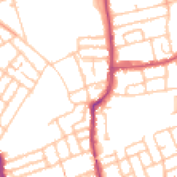
Daytime· 07:00 – 23:00
50.5dB

Night-time· 23:00 – 07:00
40.6dB