8 Erconwald Street, Hammersmith And Fulham, London, W12 0BS
About 8 Erconwald Street
8 Erconwald Street is a four-bedroom mid-terrace house in Hammersmith And Fulham, London, London (W12 0BS). It has a recorded floor area of 92 m² (around 990 sq ft), construction records dating it to 1930-1949 and council tax band D. The property has solar panels on record, all of which lower running costs and tend to lift resale appeal. Period features are noted in the property record. The latest certificate (April 2016) shows a C (score 75), near the top of the C band. The latest certificate is from April 2016, so improvements made since then won't be reflected.
Held since September 2001 — that's 25 years off the open market, well above the local norm. At 92 m² the property is well over the postcode median (60 m² across 31 EPCs), placing it in the larger end of the local stock. Today's modelled estimate of £680,000 sits 216.3% above the 2001 sale of £215,000. On a £-per-square-foot basis, the last sale (£217/sq ft) was about 43.2% below the postcode norm.
Know exactly what you're buying at 8 Erconwald Street
Before you offer, see what the listing won't tell you, the true value, the red flags and the full history.
Valuation
against the asking price
Risks
planning & flood
Sold prices
similar homes nearby
Trends
the local market
What this property has
Inside
- Bedrooms4
- Bathrooms3
- EnsuiteYes
Building
- Solar panelsYes
- Period featuresYes
Energy performance
EPC Expired
This certificate is over 10 years old and is no longer valid.Expired 11 Apr 2026
EPC Rating
Planning history
8 Erconwald Street has no planning applications on record.
Notable planning nearby
2applications of note in the surrounding area
Sales history & valuation
8 Erconwald Street's estimated value is more than triple its earliest registered sale price (2001).
£680,000
Modelled from EPC, postcode comparables.
£215,000
Recorded with HM Land Registry.
Sales timeline
19 September 2001Most recent
£215,000
Median price across the last 5 sales in W12 0BS: £270,500 (2021–2015).
Nearby sales in W12 0BS
36 Erconwald Street, Hammersmith And Fulham, London, W12 0BS
Sold Feb 2021
£470,00056a, Erconwald Street, Hammersmith And Fulham, London, W12 0BS
Sold Mar 2020
£185,88960 Erconwald Street, Hammersmith And Fulham, London, W12 0BS
Sold May 2019
£455,00058 Erconwald Street, Hammersmith And Fulham, London, W12 0BS
Sold Jul 2015
£270,50040 Erconwald Street, Hammersmith And Fulham, London, W12 0BS
Sold Aug 2012
£350,000
Everything we know about 8 Erconwald Street, in one report
What it's really worth, what could be wrong, and the planning, sales and area data in full.
- Am I paying too much?
- Is something wrong with it?
- Is the agent's story true?
- Will it hold its value?

Versus other Erconwald Street homes
On epc rating, 8 Erconwald Street stands well clear of the street.
Price per m²
£2,337
Street avg £5,013
Floor Area
92 m²
Street avg 60 m²
Habitable Rooms
5 rooms
Street avg 3 rooms
CO₂ Emissions
2.5 t/year
Street avg 2.7 t/year
Similar properties nearby
1 Braybrook Street, Hammersmith And Fulham
W12 0AR
1 Bramble Gardens, Hammersmith And Fulham
W12 0TF
1 Gravesend Road, Hammersmith And Fulham
W12 0SZ
1 Hemlock Road, Hammersmith And Fulham
W12 0QP
1 Galloway Road, Hammersmith And Fulham
W12 0PH
1 Caverswall Street, Hammersmith And Fulham
W12 0HG
1 Eynham Road, Hammersmith And Fulham
W12 0HD
1 Glenroy Street, Hammersmith And Fulham
W12 0HF
The neighbourhood at a glance
Rail-style transport is unusually close for this postcode.
Crime
6/mo
Rising year-on-year across the wider district.
Nearest stop
0.1 km
East Acton Station / Fitzneal Street — bus stop.
Closest school
0.4 km
Old Oak Primary School. 64 schools nearby.
Go deeper on the local area
The full report breaks down crime, transport links, schools and air quality in depth.
Road noise across the postcode
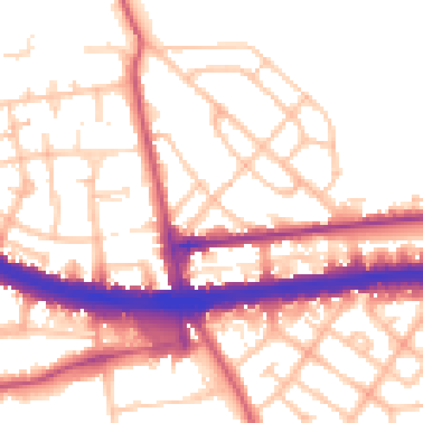
Daytime· 07:00 – 23:00
54.5dB

Night-time· 23:00 – 07:00
45.4dB