12a, Allington Close, Greenford, UB6 8PH
About 12a
12a is a semi-detached house in Greenford (UB6 8PH). It has a recorded floor area of 34 m² (around 366 sq ft), construction records dating it to 1991-1995 and council tax band B. At 34 m² this is the 11th smallest of 42 units on EPC record in the building, where floor areas span 29–68 m². The building's EPC ratings span E to B across 42 units on file. The latest certificate (November 2012) shows a C (score 71). Main heating runs on electricity. The latest certificate is from November 2012, so improvements made since then won't be reflected.
Across 1998–2017, sale prices on this property compounded at 7.4% per year. On a £-per-square-foot basis, the last sale (£492/sq ft) was about 81.8% above the typical sold price in the postcode. On the market in August 2017 and unlisted since — roughly 9 years. At 34 m² it's 20.9% smaller than the typical home in the postcode (43 m² median across 41 EPCs).
Know exactly what you're buying at 12a
Before you offer, see what the listing won't tell you, the true value, the red flags and the full history.
Already flagged here
Valuation
against the asking price
Risks
planning & flood
Sold prices
similar homes nearby
Trends
the local market
Energy performance
12a's EPC is over a decade old — improvements since won't be reflected.
EPC Expired
This certificate is over 10 years old and is no longer valid.Expired 25 Nov 2022
EPC Rating
Planning history
12a has no planning applications on record.
Notable planning nearby
66applications of note in the surrounding area
We flagged 2 things worth checking at 12a
Independent checks surfaced things a buyer would want to understand before offering. The report explains each one in full, with the underlying data and what to ask.
- Signs of HMO activity in the area
- Larger development activity nearby
30-day money-back guarantee
Sales history & valuation
12a has more than tripled in price since its earliest registered sale in 1998.
£193,000
Modelled from EPC, postcode comparables and a sale-price growth of 7.4% per year over 19 years.
£179,950
Growth on file: 7.4% per year over 19 years.
Sales timeline
6 August 2017Most recent
£179,950
+176.8%over 15 years25 October 2001
£65,000
+35.4%over 2 years23 December 1998
£48,000
Median price across the last 5 sales in UB6 8PH: £225,000 (2025–2022).
Nearby sales in UB6 8PH
Everything we know about 12a, in one report
What it's really worth, what could be wrong, and the planning, sales and area data in full.
What we flagged
- Signs of HMO activity in the area
- Larger development activity nearby

Versus other Allington Close homes
On habitable rooms, 12a runs well behind the street norm.
Price per m²
£5,293
Street avg £4,033
Floor Area
34 m²
Street avg 42 m²
Habitable Rooms
1 rooms
Street avg 2 rooms
CO₂ Emissions
2.4 t/year
Street avg 2.4 t/year
Similar properties nearby
The neighbourhood at a glance
Rail-style transport is unusually close for this postcode.
Crime
7/mo
Rising year-on-year across the wider district.
Nearest stop
0.4 km
Greenford — railway station.
Closest school
0.7 km
William Perkin Church of England High School. 37 schools nearby.
Go deeper on the local area
The full report breaks down crime, transport links, schools and air quality in depth.
Road noise across the postcode
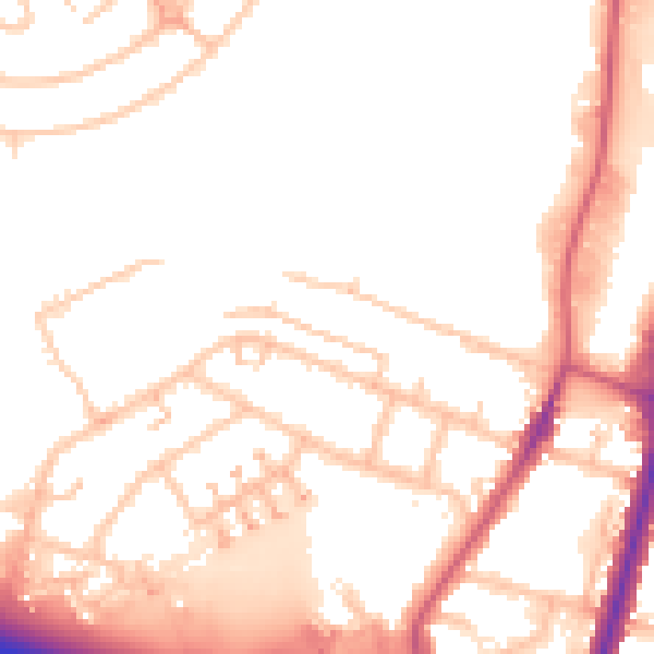
Daytime· 07:00 – 23:00
51.9dB

Night-time· 23:00 – 07:00
43.8dB