Bridgepoint House, Flat 11, Sudbury Heights Avenue, Greenford, UB6 0BF
About Bridgepoint House
Bridgepoint House is a two-bedroom mid-terrace house in Greenford (UB6 0BF). It has a recorded floor area of 52 m² (around 560 sq ft), construction records dating it to 2007-2011 and council tax band C. At 52 m² this is the 27th smallest of 31 units on EPC record in Bridgepoint House, where floor areas span 35–75 m². The building's EPC ratings span C to B, with this unit at the bottom. Other recorded features include a balcony. The latest certificate (August 2023) shows a C (score 79), near the top of the C band. Earlier certificates rated it B (March 2009); the latest reading is one band lower. Main heating runs on electricity.
At 52 m² the property is well over the postcode median (38 m² across 30 EPCs), placing it in the larger end of the local stock. Across 2010–2018, sale prices on this property compounded at 6.6% per year. On a £-per-square-foot basis, the last sale (£548/sq ft) was about 36.1% above the typical sold price in the postcode. On the market in May 2018 and unlisted since — roughly 8 years.
Know exactly what you're buying at Bridgepoint House
Before you offer, see what the listing won't tell you, the true value, the red flags and the full history.
Already flagged here
Valuation
against the asking price
Risks
planning & flood
Sold prices
similar homes nearby
Trends
the local market
What this property has
Inside
- Bedrooms2
- Bathrooms1
- Open-plan layoutYes
- EnsuiteYes
Outside
- ParkingOff street
- BalconyYes
Building
- LiftYes
- RefurbishedYes
Energy performance
Bridgepoint House's carbon output is low for the local stock.
EPC Rating
Property Improvements
Changes detected from historical EPC data
Changed to a more efficient fuel source
Wall insulation upgraded
More low energy lighting installed
Planning history
Bridgepoint House has no planning applications on record.
Notable planning nearby
33applications of note in the surrounding area
We flagged 1 thing worth checking at Bridgepoint House
Independent checks surfaced things a buyer would want to understand before offering. The report explains each one in full, with the underlying data and what to ask.
- Signs of HMO activity in the area
30-day money-back guarantee
Sales history & valuation
Latest sale on Bridgepoint House was the highest on Land Registry record across the postcode.
£310,000
Modelled from EPC, postcode comparables and a sale-price growth of 6.6% per year over 8 years.
£307,000
Growth on file: 6.6% per year over 8 years.
Sales timeline
11 May 2018Most recent
£307,000
+65.9%over 7 years27 May 2010
£185,000
Median price across the last 5 sales in UB6 0BF: £245,000 (2025–2019).
Nearby sales in UB6 0BF
Bridgepoint House, Flat 18, Sudbury Heights Avenue, Greenford, UB6 0BF
Sold Aug 2025
£240,000Bridgepoint House, Flat 22, Sudbury Heights Avenue, Greenford, UB6 0BF
Sold Aug 2025
£300,000Bridgepoint House, Flat 23, Sudbury Heights Avenue, Greenford, UB6 0BF
Sold Feb 2021
£242,000Bridgepoint House, Flat 12, Sudbury Heights Avenue, Greenford, UB6 0BF
Sold Oct 2019
£245,000Bridgepoint House, Flat 31, Sudbury Heights Avenue, Greenford, UB6 0BF
Sold Sept 2019
£250,000
Everything we know about Bridgepoint House, in one report
What it's really worth, what could be wrong, and the planning, sales and area data in full.
What we flagged
- Signs of HMO activity in the area

Versus other Sudbury Heights Avenue homes
Bridgepoint House outperforms the street on floor area by a wide margin.
Price per m²
£5,904
Street avg £5,424
Floor Area
52 m²
Street avg 33 m²
Habitable Rooms
3 rooms
Street avg 2 rooms
CO₂ Emissions
1.0 t/year
Street avg 1.1 t/year
Similar properties nearby
Bridgepoint House, Flat 1, Sudbury Heights Avenue
UB6 0BF
1276 1278, Flat 4, Greenford Road
UB6 0HH
18a, Flat 2, Clare Road
UB6 0DF
1276 1278, Flat 3, Greenford Road
UB6 0HH
1303a, Flat 2, Greenford Road
UB6 0HX
143a, Flat 2, Sudbury Heights Avenue
UB6 0LW
1303a, Flat 4, Greenford Road
UB6 0HX
143a, Flat 1, Sudbury Heights Avenue
UB6 0LW
The neighbourhood at a glance
Rail-style transport is unusually close for this postcode.
Crime
7/mo
Rising year-on-year across the wider district.
Nearest stop
0.2 km
Allendale Road — bus stop.
Closest school
0.9 km
Barham Primary School. 34 schools nearby.
Go deeper on the local area
The full report breaks down crime, transport links, schools and air quality in depth.
Road noise across the postcode
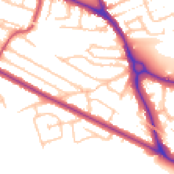
Daytime· 07:00 – 23:00
52.4dB

Night-time· 23:00 – 07:00
43.7dB