3 Church Close, Ormesby, Middlesbrough, TS7 9AN
About 3 Church Close
3 Church Close is a three-bedroom detached house in Ormesby, Middlesbrough, Middlesbrough (TS7 9AN). It has a recorded floor area of 107 m² (around 1152 sq ft), construction records dating it to 1950-1966 and council tax band D. The latest certificate (October 2021) shows an F (score 32), near the bottom of the EPC scale. The recommended improvements would lift it to C (score 75), a 3-band jump.
Today's modelled estimate of £236,000 is 24.2% above the 2022 sale price. Most recent transfer: June 2022 at £190,000. That sale was during the post-pandemic price surge, when transactions cleared materially above pre-2020 trend.
What this property has
Inside
- Bedrooms3
- Bathrooms1
Outside
- GarageYes
Building
- RefurbishedYes
Everything you need to know about 3 Church Close
The true value, the hidden risks and the full sale history, in one report.
Pick your report · every report is £14.99
One time fee only - money back guarantee

The data behind every report


Energy performance
3 Church Close's carbon output runs well above what efficient homes in the postcode produce.
EPC Rating
Get a survey for this property
Level 2 HomeBuyer Report
We've checked 10 risk factors against the available data for this property and believe a Level 2 HomeBuyer Report could be a suitable option for you.
From £545 · Includes VAT
Planning history
3 Church Close has no planning applications on record.
But the area is active
1 notable application nearby — larger schemes and conversions that could reshape the street. The report maps them all.
Sales history & valuation
The latest sale landed in the post-pandemic price surge — useful context when reading the figure.
£236,000
Modelled from EPC, postcode comparables.
£190,000
Recorded with HM Land Registry.
Sales timeline
20 June 2022Most recent
£190,000
Median price across the last 1 sales in TS7 9AN: £168,000 (2023–2023).
Nearby sales in TS7 9AN
Everything you need to know about 3 Church Close
The true value, the hidden risks and the full sale history, in one report.
Pick your report · every report is £14.99
One time fee only - money back guarantee
The data behind every report
Similar properties nearby
1 Cleveland Close, Ormesby
TS7 9BX
1 Cooks Court, Ormesby
TS7 9NL
1 Farmbank Road, Ormesby
TS7 9EG
1 Cherry Tree Close, Ormesby
TS7 9PH
1 Bywell Grove, Ormesby
TS7 9LL
1 Dew Lane, Ormesby
TS7 9AR
1 Appletree Gardens, Ormesby
TS7 9NR
1 Ainsworth Way, Ormesby
TS7 9QA
The neighbourhood at a glance
Crime
4/mo
Steady year-on-year across the wider district.
Nearest stop
0.2 km
The Hall Close — bus stop.
Closest school
0.2 km
Ormesby Primary School. 31 schools nearby.
Go deeper on the local area
A Local Area report breaks down crime, transport links, schools and air quality in depth.
Road noise across the postcode
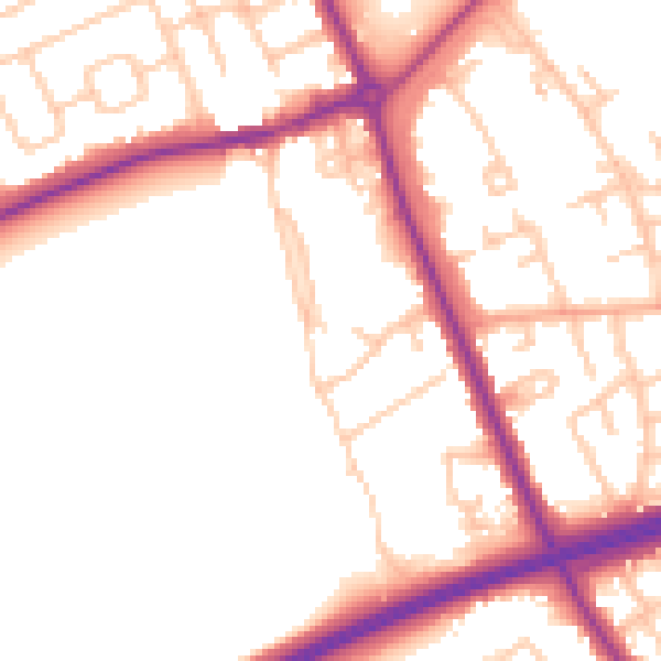
Daytime· 07:00 – 23:00
52.4dB

Night-time· 23:00 – 07:00
44.3dB