9 The Ridings, Nunthorpe, Middlesbrough, TS7 0DJ
About 9 The Ridings
9 The Ridings is a detached house in Nunthorpe, Middlesbrough, Middlesbrough (TS7 0DJ). It has a recorded floor area of 293 m² (around 3154 sq ft) and construction records dating it to 2022. The latest certificate (December 2022) returns an A (score 97), the top energy band on the EPC scale. Main heating runs on electricity: electricity, unspecified tariff.
Across 2016–2022, sale prices on this property compounded at 11.4% per year. Last sale on file: £780,000 in December 2022. That sale was during the post-pandemic price surge, when transactions cleared materially above pre-2020 trend.
Everything you need to know about 9 The Ridings
The true value, the hidden risks and the full sale history, in one report.
Pick your report · every report is £14.99
One time fee only - money back guarantee

The data behind every report


Energy performance
9 The Ridings's carbon output is low for the local stock.
EPC Rating
Get a survey for this property
Level 2 HomeBuyer Report
We've checked 10 risk factors against the available data for this property and believe a Level 2 HomeBuyer Report could be a suitable option for you.
From £995 · Includes VAT
Planning history
9 The Ridings has no planning applications on record.
But the area is active
2 notable applications nearby — larger schemes and conversions that could reshape the street. The report maps them all.
Sales history & valuation
9 The Ridings has more than doubled in price since the earliest registered sale in 2016.
£755,000
Modelled from EPC, postcode comparables and a sale-price growth of 11.4% per year over 7 years.
£780,000
Growth on file: 11.4% per year over 7 years.
Sales timeline
22 December 2022Most recent
£780,000
+102.6%over 6 years9 June 2016
£385,000
Median price across the last 4 sales in TS7 0DJ: £452,500 (2025–2022).
Everything you need to know about 9 The Ridings
The true value, the hidden risks and the full sale history, in one report.
Pick your report · every report is £14.99
One time fee only - money back guarantee
The data behind every report
Similar properties nearby
1 Collingham Drive, Nunthorpe
TS7 0GB
1 Box Drive, Nunthorpe
TS7 0RH
1 Aldwalk Close, Nunthorpe
TS7 0DE
1 Breckon Close, Nunthorpe
TS7 0GZ
1 Church Lane, Nunthorpe
TS7 0PD
1 Botany Way, Nunthorpe
TS7 0LR
1 Crookershill Close, Nunthorpe
TS7 0LZ
1 Clevegate, Nunthorpe
TS7 0QU
The neighbourhood at a glance
Rail-style transport is unusually close for this postcode.
Crime
4/mo
Steady year-on-year across the wider district.
Nearest stop
0.1 km
Gypsy Lane Rail Station — railway station.
Closest school
0.6 km
The Avenue Primary School. 22 schools nearby.
Go deeper on the local area
A Local Area report breaks down crime, transport links, schools and air quality in depth.
Road noise across the postcode
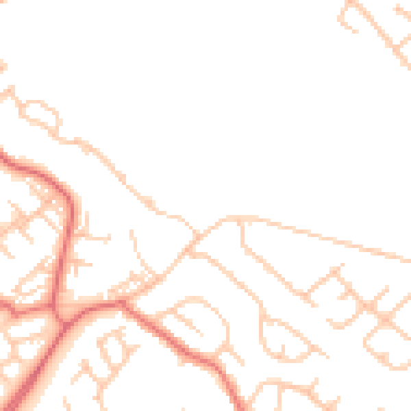
Daytime· 07:00 – 23:00
46.9dB

Night-time· 23:00 – 07:00
37.4dB