15 Linthorpe Road, Middlesbrough, TS1 1RG
About 15 Linthorpe Road
15 Linthorpe Road is an end-of-terrace house in Middlesbrough (TS1 1RG). It has a recorded floor area of 158 m² (around 1701 sq ft) and construction records dating it to 1976-1982. The latest certificate (February 2019) shows a D (score 66), on the cusp of jumping into the C band. The recommended improvements would push it to C (score 79).
5 planning records sit against the property, 2 approved, 2 refused. Past consents include change of use to residential, meaningful when judging how the property has evolved. Last changed hands 9 years ago, in April 2017. Today's modelled estimate of £355,000 is 17.2% above the 2017 sale price.
Everything you need to know about 15 Linthorpe Road
The true value, the hidden risks and the full sale history, in one report.
Pick your report · from £14.99
One time fee only - money back guarantee

The data behind every report







Energy performance
15 Linthorpe Road's carbon output runs well above what efficient homes in the postcode produce.
EPC Rating
Certificate validity
Valid until 20 February 2029

Get a survey for this property
Level 2 HomeBuyer Report
We've checked 10 risk factors against the available data for this property and believe a Level 2 HomeBuyer Report could be a suitable option for you.
From £595 · Includes VAT
Planning history
Council records show a subdivision application — the property's legal arrangement has been altered.
5 applications on record at 15 Linthorpe Road, Middlesbrough, TS1 1RG
- Jan 2018SubdivisionAmendmentOutcome in report
Change of use of first and second floors to 4no self-contained flats and alterations to elevations
Change of Use- Documents
- 12 docs on file
- Reference
- 17/0584/COU
- More recent applications — locked
- ConditionsAug 2019Decision
- Change of UseMar 2018Decision
+ 2 more applications in the report
Unlock 15 Linthorpe Road, Middlesbrough, TS1 1RG's full planning history
You're seeing the shape of it. The report has the substance.
- Every decision — granted, refused or withdrawn (5 on record)
- All 5 applications on this property in full
- The 50 documents, officer reports & conditions
- What the pattern means for extending or converting here
One time fee only - money back guarantee
Sales history & valuation
£355,000
Modelled from EPC, postcode comparables.
£303,000
Recorded with HM Land Registry.
Sales timeline
12 April 2017Most recent
£303,000
Everything you need to know about 15 Linthorpe Road
The true value, the hidden risks and the full sale history, in one report.
Pick your report · from £14.99
One time fee only - money back guarantee
The data behind every report
Similar properties nearby
The neighbourhood at a glance
Rail-style transport is unusually close for this postcode.
Crime
429/mo
Steady year-on-year across the wider district.
Nearest stop
0.2 km
Rail Station — bus stop.
Closest school
0.6 km
Middlesbrough College. 19 schools nearby.
Go deeper on the local area
A Local Area report breaks down crime, transport links, schools and air quality in depth.
Road noise across the postcode
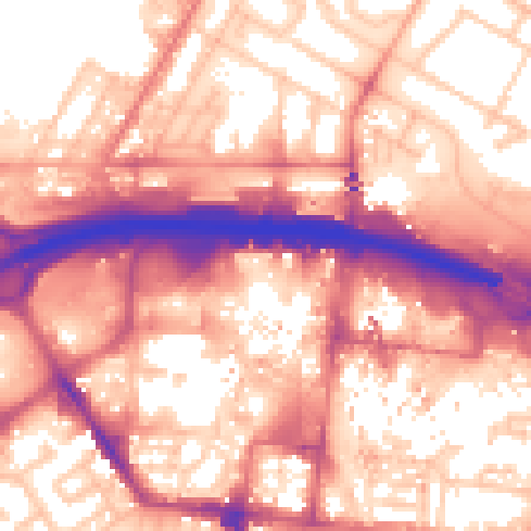
Daytime· 07:00 – 23:00
59.3dB

Night-time· 23:00 – 07:00
50.5dB