4 Durning Road, St Agnes, TR5 0UP
About 4 Durning Road
4 Durning Road is a two-bedroom detached house in St Agnes (TR5 0UP). It has a recorded floor area of 58 m² (around 624 sq ft), construction records dating it to 1976-1982 and council tax band C. The latest certificate (December 2015) shows an F (score 32), near the bottom of the EPC scale. The recommended improvements would lift it to D (score 62), a 2-band jump. Main heating runs on bottled lpg. The latest certificate is from December 2015, so improvements made since then won't be reflected.
On energy efficiency it sits in the bottom 10% of properties in this postcode — significant headroom for improvement. One planning record on file: an extension approved in 2018. Past consents include an extension and a porch, meaningful when judging how the property has evolved. Across 2006–2018, sale prices on this property compounded at 4.2% per year. Today's modelled estimate of £341,000 is 24% above the 2018 sale price. On a £-per-square-foot basis, the last sale (£440/sq ft) was about 39.9% above the typical sold price in the postcode. Last sold in April 2018, so it's been off the market for around 8 years.
What this property has
Inside
- Bedrooms2
- Bathrooms1
Outside
- GarageYes
Building
- Heating systemLpg
Everything you need to know about 4 Durning Road
The true value, the hidden risks and the full sale history, in one report.
30-day money-back guarantee

The data behind every report


Energy performance
4 Durning Road sits at the bottom of the postcode for energy efficiency — meaningful headroom to improve.
EPC Expired
This certificate is over 10 years old and is no longer valid.Expired 18 Dec 2025
EPC Rating
Planning history
4 Durning Road has an approved single-storey front extension on the planning record.
- Jun 2018PorchFullIn report
Extension: Single storey · Front of property
Proposed single storey extension with porch
- Agent
- Architectural Solutions
Extension- Documents
- 10 docs on file
- Reference
- PA18/04744
We flagged 1 thing worth checking at 4 Durning Road
Independent checks surfaced things a buyer would want to understand before offering. The report explains each one in full, with the underlying data and what to ask.
- Larger development activity nearby
30-day money-back guarantee
Sales history & valuation
4 Durning Road valuation sits well clear of the typical sold price in this postcode.
£341,000
Modelled from EPC, postcode comparables and a sale-price growth of 4.2% per year over 12 years.
£275,000
Growth on file: 4.2% per year over 12 years.
Sales timeline
5 April 2018Most recent
£275,000
+61.8%over 11 years5 July 2006
£170,000
Median price across the last 5 sales in TR5 0UP: £200,000 (2025–2023).
Versus other Durning Road homes
On epc rating, 4 Durning Road runs well behind the street norm.
Price per m²
£4,741
Street avg £4,690
Floor Area
58 m²
Street avg 66 m²
Habitable Rooms
4 rooms
Street avg 4 rooms
CO₂ Emissions
2.7 t/year
Street avg 4.3 t/year
Everything you need to know about 4 Durning Road
The true value, the hidden risks and the full sale history, in one report.
30-day money-back guarantee
The data behind every report
Similar properties nearby
1 Bolster Close
TR5 0TT
1 Alma Close, Goonbell
TR5 0PJ
1 Durning Road
TR5 0UP
1 Churchtown
TR5 0QW
1 Dusty Corner, Trevellas
TR5 0XH
1 Atlantic Mews, Wheal Kitty
TR5 0LT
1 Brecon Close
TR5 0TD
1 Counthouse Mews, Wheal Kitty
TR5 0AS
The neighbourhood at a glance
Daytime road noise here sits well below conversation level — a quiet pocket of the postcode.
Crime
2/mo
Steady year-on-year across the wider district.
Nearest stop
0.3 km
Penwinnick Parc — bus stop.
Closest school
0.4 km
St Agnes Academy. 3 schools nearby.
Go deeper on the local area
The full report breaks down crime, transport links, schools and air quality in depth.
Road noise across the postcode
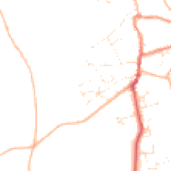
Daytime· 07:00 – 23:00
45.4dB

Night-time· 23:00 – 07:00
37.3dB