Model valuation£417,0008 Busby Close
Local market context
Estimated value
£250,000
Newest record on this page: August 2022. Land Registry and EPC registers update monthly, so this page can trail them by 2–3 months.
Our estimate
£250,000
Your note and figure are shown publicly on this page.
The estimate for Sandwell is modelled from its 52 m² EPC floor area, its 1 recorded sale and recent sales of comparable homes in TQ9 7LL. It is an automated estimate, not a survey or mortgage valuation: condition, layout and improvements that aren't on record can move the real figure either way.
Floor area
52 m² from the EPC lodged in July 2020
Sales of this home
1 sale recorded, the latest in 2022
Recent sales in TQ9 7LL
No recent sales of other homes in the postcode
| Data | This page | Full report |
|---|---|---|
| Sales | Latest sale shown: August 2022 | Latest available records, read when you order |
| Valuation | Estimate from the last refresh | Analysed against comparable sales |
| Planning | None on this home | Full history, plus nearby schemes |
| Flood risk | Not shown | Included |
Sandwell's modelled value sits at over four times its earliest registered sale price (2022).
4 August 2022Most recent
£55,000
One time fee only - money back guarantee
Sandwell is a semi-detached house in Harberton, Totnes, Totnes (TQ9 7LL). It has a recorded floor area of 52 m² (around 560 sq ft) and construction records dating it to before 1900. The latest certificate (July 2020) shows an E (score 46), well below the UK norm with real room to improve. The recommended improvements would lift it to B (score 85), a 3-band jump.
Today's modelled estimate of £250,000 sits 354.5% above the 2022 sale of £55,000. Last sale on file: £55,000 in August 2022. That sale was during the post-pandemic price surge, when transactions cleared materially above pre-2020 trend.
The true value, the hidden risks and the full sale history, in one report.
Pick your report · from £14.99
One time fee only - money back guarantee
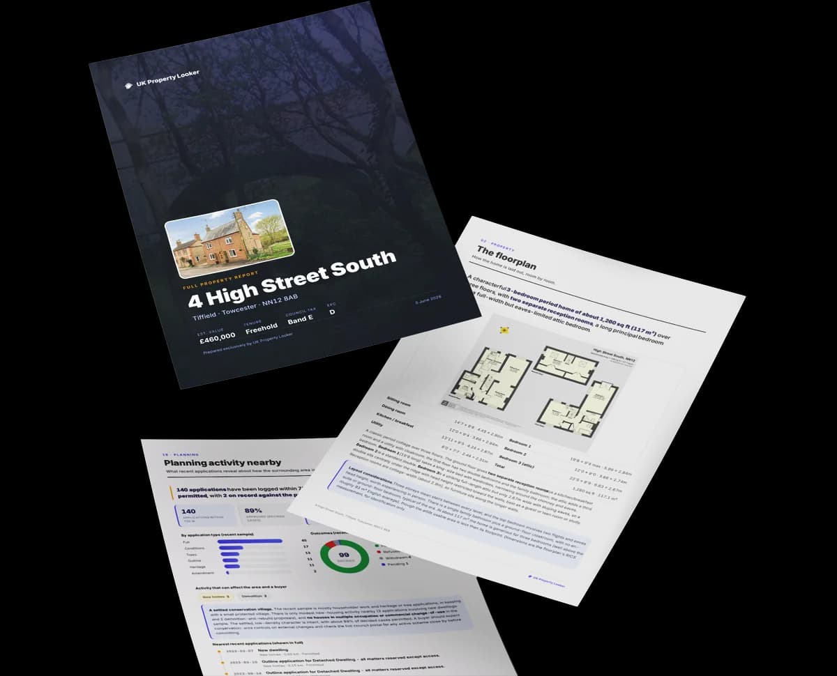
The data behind every report


Recommended upgrades on file would lift this property by multiple EPC bands.
Certificate validity
Valid until 16 July 2030
Sandwell has no planning applications on record.
But the area is active
3 notable applications nearby — larger schemes and conversions that could reshape the street. The report maps them all.
Sandwell is notably below the street on floor area.
EPC Rating
46 (E)
Street avg 52 (E)
Floor Area
52 m²
Street avg 98 m²
CO₂ Emissions
4.3 t/year
Street avg 5.7 t/year
Habitable Rooms
3 rooms
Street avg 4 rooms
Daytime road noise here sits well below conversation level — a quiet pocket of the postcode.
Crime
60/mo
Falling year-on-year across the wider district.
Nearest stop
0.8 km
Fork Cross — bus stop.
Go deeper on the local area
A Local Area report breaks down crime, transport links, schools and air quality in depth.

Daytime· 07:00 – 23:00
43.0dB

Night-time· 23:00 – 07:00
36.2dB

Get a survey for this property
Because the property was built before 1919, we believe a Level 3 building survey should be considered.
From £885 · Includes VAT
TQ9 7RE
TQ9 7TB
TQ9 7LP
TQ9 7FF
TQ9 7QR
TQ9 7RR
TQ9 7EE
TQ9 7BN
Property research, connected
Explore sale histories, valuations, energy ratings and local areas. Ask the assistant to connect the details and take your research further.
Start your researchLeave a note for other visitors about work done or anything the records miss, and say what you think it's worth. It takes about two minutes.