Model valuation£417,0008 Busby Close
Local market context
Estimated value
£362,000
Newest record on this page: March 2026. Land Registry and EPC registers update monthly, so this page can trail them by 2–3 months.
Our estimate
£362,000
Your note and figure are shown publicly on this page.
The estimate for 18 Birchwood Close is modelled from its 89 m² EPC floor area, its 3 recorded sales and recent sales of comparable homes in TQ9 5GB. It is an automated estimate, not a survey or mortgage valuation: condition, layout and improvements that aren't on record can move the real figure either way.
Floor area
89 m² from the EPC lodged in September 2023
Sales of this home
3 sales recorded, the latest in 2024
Recent sales in TQ9 5GB
5 sales, median £390,000 (2026–2023)
| Data | This page | Full report |
|---|---|---|
| Sales | Latest sale shown: March 2026 | Latest available records, read when you order |
| Valuation | Estimate from the last refresh | Analysed against comparable sales |
| Planning | None on this home | Full history, plus nearby schemes |
| Flood risk | Not shown | Included |
18 Birchwood Close has more than tripled in price since its earliest registered sale in 1999.
7 April 2024Most recent
£328,500
+173.8%over 22 years6 September 2001
£120,000
+42.9%over 2 years3 March 1999
£84,000
Median price across the last 5 sales in TQ9 5GB: £390,000 (2026–2023).
One time fee only - money back guarantee
18 Birchwood Close is an end-of-terrace house in Totnes (TQ9 5GB). It has a recorded floor area of 89 m² (around 958 sq ft), construction records dating it to 1991-1995 and council tax band D. The latest certificate (September 2023) shows a C (score 69), just inside the C band. The recommended improvements would push it to B (score 84).
Across 1999–2024, sale prices on this property compounded at 5.6% per year. Today's modelled estimate of £362,000 is 10.2% above the 2024 sale price. On a £-per-square-foot basis, the last sale (£343/sq ft) was about 35.7% above the typical sold price in the postcode. Most recent transfer: April 2024 at £328,500.
The true value, the hidden risks and the full sale history, in one report.
Pick your report · from £14.99
One time fee only - money back guarantee
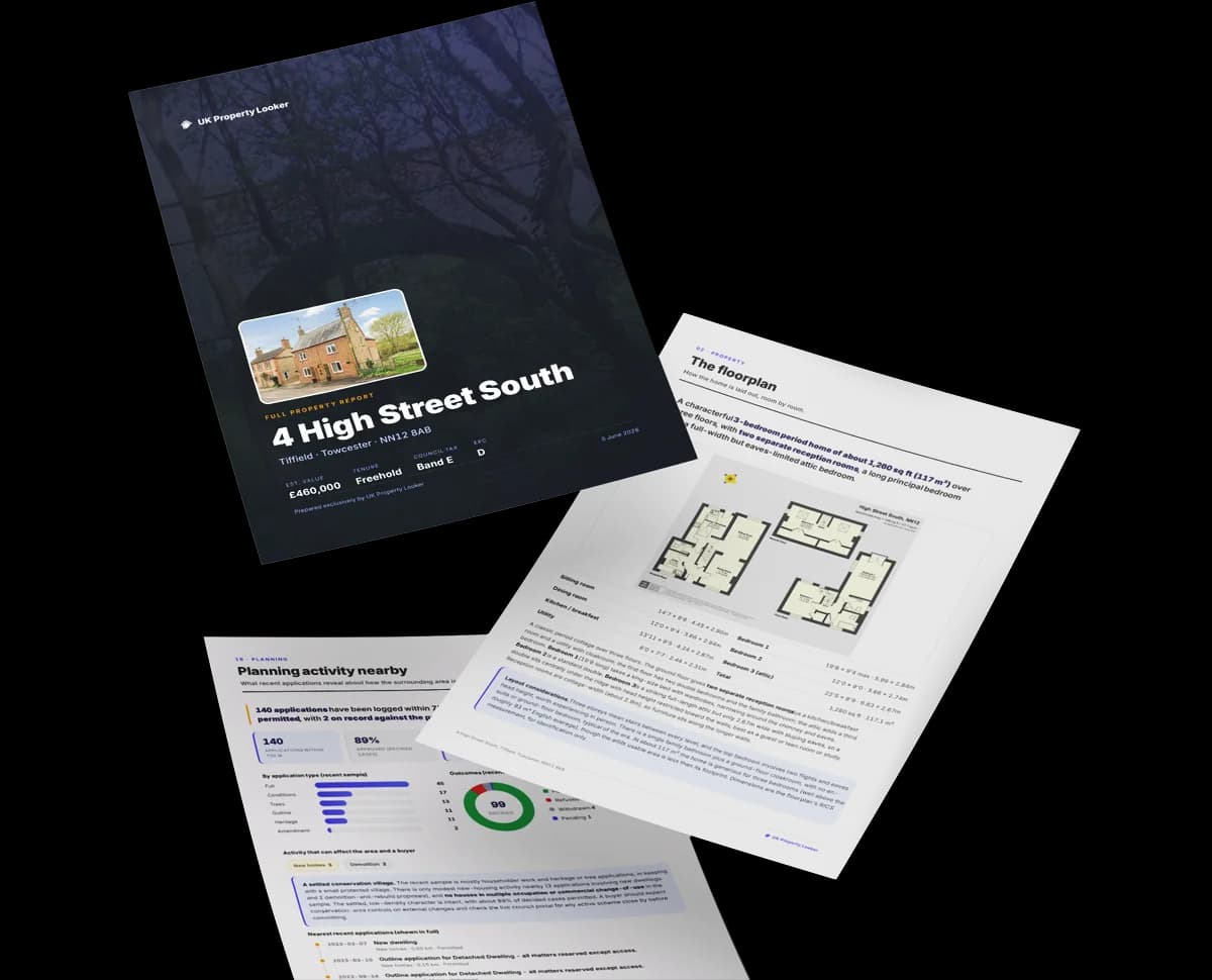
The data behind every report


Certificate validity
Valid until 26 September 2033
18 Birchwood Close has no planning applications on record.
But the area is active
5 notable applications nearby — larger schemes and conversions that could reshape the street. The report maps them all.
18 Birchwood Close is notably below the street on habitable rooms.
Price per m²
£3,691
Street avg £3,650
Floor Area
89 m²
Street avg 94 m²
Habitable Rooms
4 rooms
Street avg 5 rooms
CO₂ Emissions
3.1 t/year
Street avg 3.5 t/year
Rail-style transport is unusually close for this postcode.
Crime
60/mo
Falling year-on-year across the wider district.
Nearest stop
0.0 km
Kellock Drive — bus stop.
Closest school
0.7 km
The Grove School. 4 schools nearby.
Go deeper on the local area
A Local Area report breaks down crime, transport links, schools and air quality in depth.
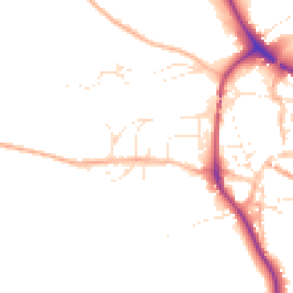
Daytime· 07:00 – 23:00
47.8dB
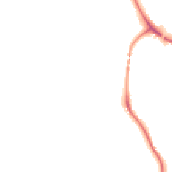
Night-time· 23:00 – 07:00
39.9dB

Get a survey for this property
We've checked 10 risk factors against the available data for this property and believe a Level 2 HomeBuyer Report could be a suitable option for you.
From £595 · Includes VAT
Property research, connected
Explore sale histories, valuations, energy ratings and local areas. Ask the assistant to connect the details and take your research further.
Start your researchLeave a note for other visitors about work done or anything the records miss, and say what you think it's worth. It takes about two minutes.