Horsley, Lower Flat, Aveland Road, Torquay, TQ1 3PT
About Horsley
Horsley is a detached house in Torquay (TQ1 3PT). It has a recorded floor area of 141 m² (around 1518 sq ft) and construction records dating it to 1900-1929. The latest certificate (September 2016) shows an E (score 51), well below the UK norm with real room to improve. The recommended improvements would lift it to C (score 76), a 2-band jump.
At 141 m² the property is well over the postcode median (51 m² across 30 EPCs), placing it in the larger end of the local stock. On energy efficiency it sits in the bottom 10% of properties in this postcode — significant headroom for improvement. One historical planning record sits against the property in 2018.
Know exactly what you're buying at Horsley
Before you offer, see what the listing won't tell you, the true value, the red flags and the full history.
Already flagged here
Valuation
against the asking price
Risks
planning & flood
Sold prices
similar homes nearby
Trends
the local market
Energy performance
Horsley sits at the bottom of the postcode for energy efficiency — meaningful headroom to improve.
EPC Rating
Planning history
- May 2018Tree WorksTreesIn report
Area TPO (A5) 1979.02T1 & T2 Junipers (Conifers) approximately x4 metres in height - Growing to the side of the property (very close to the property) - Fell & remove to ground level.G1 X3 Junipers (Conifers) approximately x3 metres in height - Growing in the rear garden boundary with tennis courts - Fell & remove to ground level.Reasons for removal - T1 & T2 are growing very close to the property, causing extreme shading and light issues to the property. Both trees have low amenity value.G1 - All trees listed are of extremely poor form, all have little or no amenity value. The smaller trees closest to the tennis courts are partially dead. Removal & replanting with a more suitable species will benefit the garden & surrounding area.
- Agent
- Teign Trees & Landscapes SW Ltd
- Documents
- 3 docs on file
- Reference
- AT/2018/0061
We flagged 2 things worth checking at Horsley
Independent checks surfaced things a buyer would want to understand before offering. The report explains each one in full, with the underlying data and what to ask.
- Signs of HMO activity in the area
- Larger development activity nearby
30-day money-back guarantee
Sales history & valuation
Horsley has no Land Registry sales on file, suggesting it has stayed in the same hands since registration began.
£284,000
Modelled from EPC, postcode comparables.
No sales recorded with HM Land Registry
That can mean the property has never traded since the registry began publishing in 1995, was a new build that hasn't been registered yet, or is held in the same hands long-term.
Median price across the last 5 sales in TQ1 3PT: £355,000 (2024–2018).
Nearby sales in TQ1 3PT
Elmira, Aveland Road, Torquay, TQ1 3PT
Sold Dec 2024
£355,000Avonwick, Flat 1, Aveland Road, Torquay, TQ1 3PT
Sold Feb 2022
£1,450,000Aveland House, Aveland Road, Torquay, TQ1 3PT
Sold Sept 2021
£470,000Upper Horsley, Aveland Road, Torquay, TQ1 3PT
Sold May 2021
£287,0001 Belvedere, Aveland Road, Torquay, TQ1 3PT
Sold Feb 2018
£310,000
Everything we know about Horsley, in one report
What it's really worth, what could be wrong, and the planning, sales and area data in full.
What we flagged
- Signs of HMO activity in the area
- Larger development activity nearby

Versus other Aveland Road homes
Floor Area for Horsley runs comfortably ahead of the street norm.
EPC Rating
51 (E)
Street avg 69 (C)
Floor Area
141 m²
Street avg 54 m²
CO₂ Emissions
7.5 t/year
Street avg 1.9 t/year
Habitable Rooms
6 rooms
Street avg 3 rooms
Similar properties nearby
2 4, Flat 4, Thurlow Road
TQ1 3DZ
11a, Flat, Thurlow Road
TQ1 3DZ
31c, Flat 2, Ash Hill Road
TQ1 3JB
2 4, Flat 6, Thurlow Road
TQ1 3DZ
Ansteys Court, Flat 6, 327 Babbacombe Road
TQ1 3TB
17a, Flat A, Market Street
TQ1 3AF
Ansteys Court, Flat 3, 327 Babbacombe Road
TQ1 3TB
Ansteys Court, Flat 4, 327 Babbacombe Road
TQ1 3TB
The neighbourhood at a glance
Daytime road noise here sits well below conversation level — a quiet pocket of the postcode.
Crime
5/mo
Steady year-on-year across the wider district.
Nearest stop
0.3 km
St Alban's Road — bus stop.
Closest school
0.2 km
The Spires College. 20 schools nearby.
Go deeper on the local area
The full report breaks down crime, transport links, schools and air quality in depth.
Road noise across the postcode
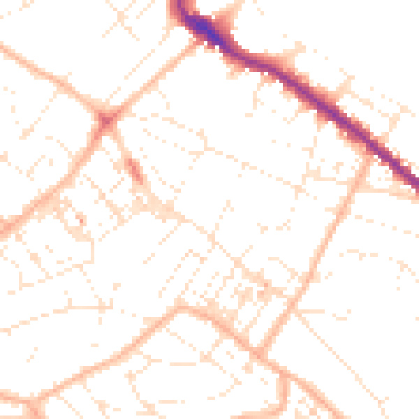
Daytime· 07:00 – 23:00
49.6dB

Night-time· 23:00 – 07:00
38.5dB