11 Longview Way, Tunbridge Wells, TN2 3BP
About 11 Longview Way
11 Longview Way is a mid-terrace house in Tunbridge Wells (TN2 3BP). It has a recorded floor area of 87 m² (around 936 sq ft), construction records dating it to 1967-1975 and council tax band C. The latest certificate (October 2022) shows a D (score 68), on the cusp of jumping into the C band. The recommended improvements would lift it to B (score 82), a 2-band jump.
Across 1999–2023, sale prices on this property compounded at 6% per year. Today's modelled estimate of £300,000 is 41.5% above the 2023 sale price. Most recent transfer: April 2023 at £212,000.
Know exactly what you're buying at 11 Longview Way
Before you offer, see what the listing won't tell you, the true value, the red flags and the full history.
Launch offer · save £5
Valuation
against the asking price
Risks
planning & flood
Sold prices
similar homes nearby
Trends
the local market
Energy performance
Recommended upgrades on file would lift this property by multiple EPC bands.
EPC Rating
Planning history
11 Longview Way has no planning applications on record.
Notable planning nearby
1applications of note in the surrounding area
Sales history & valuation
11 Longview Way has more than tripled in price since its earliest registered sale in 1999.
£300,000
Modelled from EPC, postcode comparables and a sale-price growth of 6.0% per year over 23 years.
£212,000
Growth on file: 6.0% per year over 23 years.
Sales timeline
20 April 2023Most recent
£212,000
+289.0%over 23 years27 October 1999
£54,500
Median price across the last 3 sales in TN2 3BP: £69,000 (2000–1998).
Everything we know about 11 Longview Way, in one report
What it's really worth, what could be wrong, and the planning, sales and area data in full.
- Am I paying too much?
- Is something wrong with it?
- Is the agent's story true?
- Will it hold its value?

Versus other Longview Way homes
11 Longview Way is notably below the street on floor area.
EPC Rating
68 (D)
Street avg 65 (D)
Floor Area
87 m²
Street avg 88 m²
CO₂ Emissions
3.4 t/year
Street avg 3.8 t/year
Habitable Rooms
4 rooms
Street avg 4 rooms
Similar properties nearby
The neighbourhood at a glance
Rail-style transport is unusually close for this postcode.
Crime
4/mo
Steady year-on-year across the wider district.
Nearest stop
0.1 km
Caley Road — bus stop.
Closest school
0.7 km
Skinners' Temple Grove. 18 schools nearby.
Go deeper on the local area
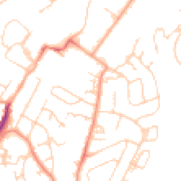
The full report breaks down crime, transport links, schools and air quality in depth.
Road noise across the postcode
Daytime· 07:00 – 23:00
48.9dB

Night-time· 23:00 – 07:00
37.8dB