7 Checkley Lane, St Georges, Telford, TF2 9UD
About 7 Checkley Lane
7 Checkley Lane is a property in St. Georges, Telford, Telford (TF2 9UD). It has council tax band E.
Untraded for 26 years, with the last transfer in April 2000. Across 1996–2000, sale prices on this property compounded at 5.4% per year.
Know exactly what you're buying at 7 Checkley Lane
Before you offer, see what the listing won't tell you, the true value, the red flags and the full history.
Already flagged here
Valuation
against the asking price
Risks
planning & flood
Sold prices
similar homes nearby
Trends
the local market
Energy performance
No EPC on record
This property doesn't have an Energy Performance Certificate yet. An EPC is required to sell or let — and unlocks our automated valuation.
Planning history
7 Checkley Lane has no planning applications on record.
Notable planning nearby
1applications of note in the surrounding area
We flagged 1 thing worth checking at 7 Checkley Lane
Independent checks surfaced things a buyer would want to understand before offering. The report explains each one in full, with the underlying data and what to ask.
- Larger development activity nearby
30-day money-back guarantee
Sales history & valuation
£132,500
Growth on file: 5.4% per year over 3 years.
Sales timeline
13 April 2000Most recent
£132,500
+18.9%over 3 years19 December 1996
£111,450
Median price across the last 5 sales in TF2 9UD: £350,000 (2022–2017).
Nearby sales in TF2 9UD
5 Checkley Lane, St Georges, Telford, TF2 9UD
Sold Dec 2022
£410,0006 Checkley Lane, St Georges, Telford, TF2 9UD
Sold Jul 2022
£370,00011 Checkley Lane, St Georges, Telford, TF2 9UD
Sold Jul 2020
£350,00015 Checkley Lane, St Georges, Telford, TF2 9UD
Sold Aug 2017
£270,0002 Checkley Lane, St Georges, Telford, TF2 9UD
Sold Oct 2007
£290,000
Everything we know about 7 Checkley Lane, in one report
What it's really worth, what could be wrong, and the planning, sales and area data in full.
What we flagged
- Larger development activity nearby

Similar properties nearby
1 Abelia Way, Priorslee
TF2 9TJ
1 Abraham Drive, St Georges
TF2 9FX
1 Ainsdale Drive, Priorslee
TF2 9QJ
1 Albert Street, St Georges
TF2 9AR
1 Alderslee Close, Priorslee
TF2 9GH
1 Aldgate Close, Priorslee
TF2 9WG
1 Aldridge Close, Priorslee
TF2 9SB
1 Alfred Nock Drive, Priorslee
TF2 9YA
The neighbourhood at a glance
Crime
7/mo
Steady year-on-year across the wider district.
Nearest stop
0.7 km
New Street — bus stop.
Closest school
0.8 km
Redhill Primary Academy. 17 schools nearby.
Go deeper on the local area
The full report breaks down crime, transport links, schools and air quality in depth.
Road noise across the postcode
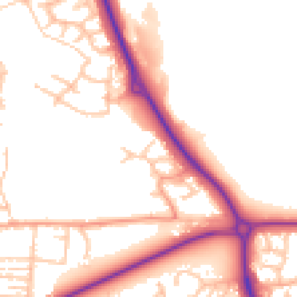
Daytime· 07:00 – 23:00
52.2dB
Night-time· 23:00 – 07:00
43.1dB