4 Barclay Lodge, Barclay Court, Donnington, Telford, TF2 8GA
About 4 Barclay Lodge
4 Barclay Lodge is a property in Donnington, Telford, Telford (TF2 8GA). It has council tax band B.
It hasn't traded since November 2009, a hold of 17 years that's notably long for the area. That sale fell during the post-crash dip, which often skews comparisons against later neighbouring sales.
Know exactly what you're buying at 4 Barclay Lodge
Before you offer, see what the listing won't tell you, the true value, the red flags and the full history.
Valuation
against the asking price
Risks
planning & flood
Sold prices
similar homes nearby
Trends
the local market
Energy performance
No EPC on record
This property doesn't have an Energy Performance Certificate yet. An EPC is required to sell or let — and unlocks our automated valuation.
Planning history
4 Barclay Lodge has no planning applications on record.
Notable planning nearby
3applications of note in the surrounding area
Sales history & valuation
The latest sale fell during the post-2008 dip, often a low-water mark in price comparisons.
£129,950
Recorded with HM Land Registry.
Sales timeline
20 November 2009Most recent
£129,950
Median price across the last 5 sales in TF2 8GA: £128,500 (2013–2009).
Everything we know about 4 Barclay Lodge, in one report
What it's really worth, what could be wrong, and the planning, sales and area data in full.
- Am I paying too much?
- Is something wrong with it?
- Is the agent's story true?
- Will it hold its value?

Similar properties nearby
1 Argyll Crescent, Muxton
TF2 8PR
1 Bridge Way, Muxton
TF2 8JL
1 Algernon Court, Donnington
TF2 8AL
1 Body Road, Donnington
TF2 8LU
1 Arran Way, Muxton
TF2 8PL
1 Ash Road, Donnington
TF2 8JD
1 Barclay Court
TF2 8AP
1 Copperfield Drive, Muxton
TF2 8JG
The neighbourhood at a glance
Crime
7/mo
Steady year-on-year across the wider district.
Nearest stop
0.1 km
Police Station — bus stop.
Closest school
0.4 km
Donnington Wood Infant School and Nursery Centre. 11 schools nearby.
Go deeper on the local area
The full report breaks down crime, transport links, schools and air quality in depth.
Road noise across the postcode
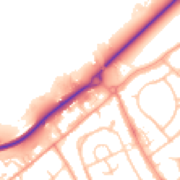
Daytime· 07:00 – 23:00
52.2dB

Night-time· 23:00 – 07:00
43.5dB