12 Lennock Road, Trench, Telford, TF2 7JL
About 12 Lennock Road
12 Lennock Road is a property in Trench, Telford, Telford (TF2 7JL). It has council tax band A.
It hasn't traded since June 1997, a hold of 29 years that's notably long for the area. Only one transfer is on record with HM Land Registry, suggesting it has stayed in the same hands for a long time.
Know exactly what you're buying at 12 Lennock Road
Before you offer, see what the listing won't tell you, the true value, the red flags and the full history.
Valuation
against the asking price
Risks
planning & flood
Sold prices
similar homes nearby
Trends
the local market
Energy performance
No EPC on record
This property doesn't have an Energy Performance Certificate yet. An EPC is required to sell or let — and unlocks our automated valuation.
Planning history
12 Lennock Road has no planning applications on record.
Notable planning nearby
2applications of note in the surrounding area
Sales history & valuation
12 Lennock Road has been held in the same hands since before 2000.
£24,000
Recorded with HM Land Registry.
Sales timeline
26 June 1997Most recent
£24,000
Median price across the last 5 sales in TF2 7JL: £77,000 (2022–2007).
Everything we know about 12 Lennock Road, in one report
What it's really worth, what could be wrong, and the planning, sales and area data in full.
- Am I paying too much?
- Is something wrong with it?
- Is the agent's story true?
- Will it hold its value?

Similar properties nearby
1 Ambleside Way, Donnington Wood
TF2 7QE
1 Ash Lea Drive, Donnington
TF2 7NS
1 Ashmore Drive, Trench
TF2 7EN
1 Barleywood Close, Donnington
TF2 7RT
1 Barn Close, Donnington
TF2 7QT
1 Biddulph Park Place, Church Road, Wrockwardine Wood
TF2 7BD
1 Bishops Walk, Donnington Wood
TF2 7HP
1 Blythe Gardens
TF2 7NH
The neighbourhood at a glance
Crime
7/mo
Steady year-on-year across the wider district.
Nearest stop
0.2 km
James Way — bus stop.
Closest school
0.4 km
Donnington Wood CofE Voluntary Controlled Junior School. 14 schools nearby.
Go deeper on the local area
The full report breaks down crime, transport links, schools and air quality in depth.
Road noise across the postcode
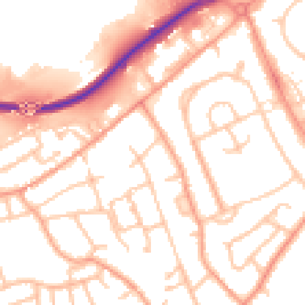
Daytime· 07:00 – 23:00
52.8dB

Night-time· 23:00 – 07:00
42.5dB