11 Cornflower Grove, Ketley, Telford, TF1 5ZH
About 11 Cornflower Grove
11 Cornflower Grove is a two-bedroom property in Ketley, Telford, Telford (TF1 5ZH). It has council tax band C.
It hasn't traded since June 2000, a hold of 26 years that's notably long for the area. Only one transfer is on record with HM Land Registry, suggesting it has stayed in the same hands for a long time.
Know exactly what you're buying at 11 Cornflower Grove
Before you offer, see what the listing won't tell you, the true value, the red flags and the full history.
Valuation
against the asking price
Risks
planning & flood
Sold prices
similar homes nearby
Trends
the local market
What this property has
Inside
- Bedrooms2
- Bathrooms1
Energy performance
No EPC on record
This property doesn't have an Energy Performance Certificate yet. An EPC is required to sell or let — and unlocks our automated valuation.
Planning history
11 Cornflower Grove has no planning applications on record.
The full report still covers planning activity across the surrounding area.
Sales history & valuation
£66,950
Recorded with HM Land Registry.
Sales timeline
29 June 2000Most recent
£66,950
Median price across the last 5 sales in TF1 5ZH: £170,000 (2025–2021).
Nearby sales in TF1 5ZH
1 Cornflower Grove, Ketley, Telford, TF1 5ZH
Sold Jul 2025
£190,00026 Cornflower Grove, Ketley, Telford, TF1 5ZH
Sold Jan 2025
£175,00030 Cornflower Grove, Ketley, Telford, TF1 5ZH
Sold Jul 2024
£170,00023 Cornflower Grove, Ketley, Telford, TF1 5ZH
Sold Aug 2021
£126,00052 Cornflower Grove, Ketley, Telford, TF1 5ZH
Sold Jan 2021
£154,000
Everything we know about 11 Cornflower Grove, in one report
What it's really worth, what could be wrong, and the planning, sales and area data in full.
- Am I paying too much?
- Is something wrong with it?
- Is the agent's story true?
- Will it hold its value?

Similar properties nearby
1 Ashford Close
TF1 5LH
1 Bolt Lane, Ketley
TF1 5FP
1 Britannia Way, Hadley
TF1 5PE
1 Buttonwood Glade, Ketley
TF1 5ZJ
1 Coronation Place
TF1 5ER
1 Bakers Lock, Hadley
TF1 5TE
1 Beddall Way, Ketley
TF1 5FN
1 Bricklin Mews, Hadley
TF1 5LU
The neighbourhood at a glance
Crime
5/mo
Steady year-on-year across the wider district.
Nearest stop
0.4 km
Shepherds Lane — bus stop.
Closest school
0.3 km
Meadows Primary School and Nursery. 20 schools nearby.
Go deeper on the local area
The full report breaks down crime, transport links, schools and air quality in depth.
Road noise across the postcode
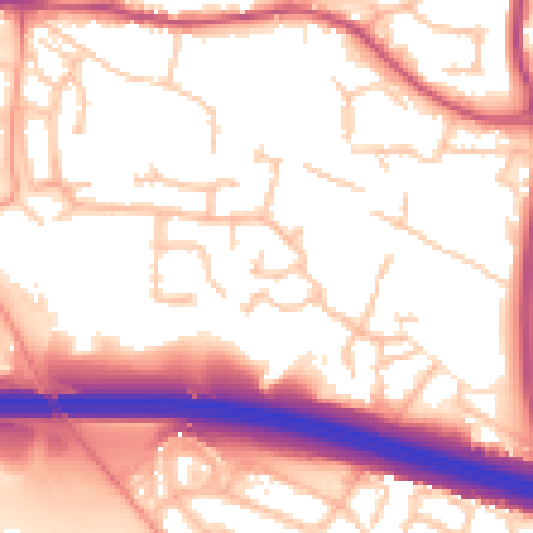
Daytime· 07:00 – 23:00
56.2dB

Night-time· 23:00 – 07:00
46.1dB