The Barn, Harley Road, Cressage, Shrewsbury, SY5 6DF
About The Barn
The Barn is a property in Cressage, Shrewsbury, Shrewsbury (SY5 6DF). It has council tax band G.
Untraded for 23 years, with the last transfer in November 2003. One planning record on file: tree works approved in 2010. Past consents include tree works, meaningful when judging how the property has evolved.
Everything you need to know about The Barn
The true value, the hidden risks and the full sale history, in one report.
30-day money-back guarantee

The data behind every report


Energy performance
No EPC on record
This property doesn't have an Energy Performance Certificate yet. An EPC is required to sell or let — and unlocks our automated valuation.
Planning history
- Sept 2010Tree WorksTreesIn report
Section fell 1 x Weeping Willow Tree and side reduce one branch of 1 x Oak Tree protected by Shrewsbury & Atcham Borough Council (Land at Shrewsbury Road, Shore Lane, Cressage) Tree Preservation Order 2007
- Documents
- 2 docs on file
- Reference
- 10/03793/TPO
What's in The Barn, Harley Road, Cressage, Shrewsbury, SY5 6DF's planning history?
Refusals, disputes and full decisions on this property and nearby, in the report.
Sales history & valuation
£395,000
Recorded with HM Land Registry.
Sales timeline
3 November 2003Most recent
£395,000
Median price across the last 5 sales in SY5 6DF: £174,000 (2021–2018).
Nearby sales in SY5 6DF
25 Harley Road, Cressage, Shrewsbury, SY5 6DF
Sold Aug 2021
£77,500Thorpe Cottage, Harley Road, Cressage, Shrewsbury, SY5 6DF
Sold Mar 2021
£430,00029 Harley Road, Cressage, Shrewsbury, SY5 6DF
Sold May 2019
£174,00027 Harley Road, Cressage, Shrewsbury, SY5 6DF
Sold Nov 2018
£169,99535 Harley Road, Cressage, Shrewsbury, SY5 6DF
Sold Aug 2018
£370,000
Everything you need to know about The Barn
The true value, the hidden risks and the full sale history, in one report.
30-day money-back guarantee
The data behind every report
Similar properties nearby
1, Eyton On Severn, Wroxeter
SY5 6PW
1 Brazier Way, Cross Houses
SY5 6LR
1 Charlton Hill, Wroxeter
SY5 6PS
1 Clockhouse Stables, Cound Park Drive, Cound
SY5 6BJ
1 Betton Cottages, Betton Strange, Cross Houses
SY5 6HZ
1, Harley
SY5 6LP
1 Home Farm Cottages, Home Farm Lane, Leighton
SY5 6RR
1 Cound Park Drive, Cound
SY5 6BN
The neighbourhood at a glance
Daytime road noise here sits well below conversation level — a quiet pocket of the postcode.
Crime
3/mo
Steady year-on-year across the wider district.
Closest school
0.3 km
Christ Church Church of England Primary School. 1 school nearby.
Go deeper on the local area
The full report breaks down crime, transport links, schools and air quality in depth.
Road noise across the postcode
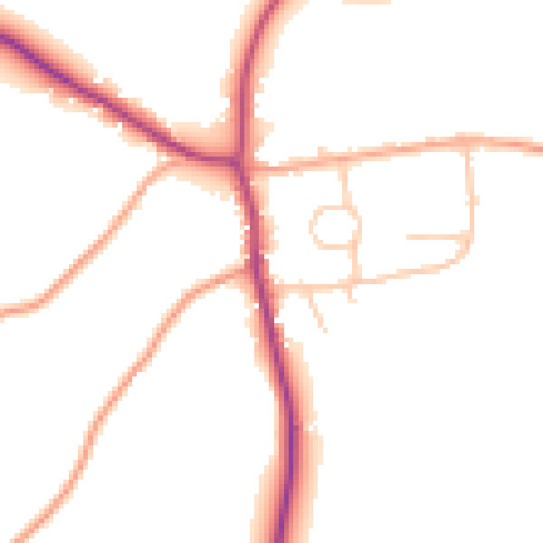
Daytime· 07:00 – 23:00
48.9dB

Night-time· 23:00 – 07:00
41.0dB