3 Castle Meadows, Pontesbury, Shrewsbury, SY5 0QE
About 3 Castle Meadows
3 Castle Meadows is a semi-detached house in Pontesbury, Shrewsbury, Shrewsbury (SY5 0QE). It has a recorded floor area of 43 m² (around 463 sq ft), construction records dating it to 1967-1975 and council tax band A. The latest certificate (February 2023) shows a C (score 74). When first surveyed in July 2011 the rating was D, the property has climbed 1 band since. Between certificates, wall efficiency went from Poor to Average, hot-water efficiency went from Average to Good and main heating went from Average to Good. At 43 m² this is the 2nd smallest of 13 units on EPC record in the building, where floor areas span 42–99 m². The building's EPC ratings span E to A across 13 units on file.
Everything you need to know about 3 Castle Meadows
The true value, the hidden risks and the full sale history, in one report.
30-day money-back guarantee

The data behind every report


Energy performance
EPC Rating
Property Improvements
Changes detected from historical EPC data
Replaced storage heaters with gas boiler
Connected to mains gas supply
Heating controls upgraded for better temperature management
Hot water system upgraded
Cavity wall insulation installed
Planning history
3 Castle Meadows has no planning applications on record.
Notable planning nearby
1applications of note in the surrounding area
Sales history & valuation
3 Castle Meadows has no Land Registry sales on file, suggesting it has stayed in the same hands since registration began.
£133,000
Modelled from EPC, postcode comparables.
No sales recorded with HM Land Registry
That can mean the property has never traded since the registry began publishing in 1995, was a new build that hasn't been registered yet, or is held in the same hands long-term.
Median price across the last 5 sales in SY5 0QE: £95,000 (2019–2004).
Versus other Castle Meadows homes
3 Castle Meadows is notably below the street on floor area.
EPC Rating
74 (C)
Street avg 73 (C)
Floor Area
43 m²
Street avg 48 m²
CO₂ Emissions
1.6 t/year
Street avg 2.1 t/year
Habitable Rooms
2 rooms
Street avg 2 rooms
Everything you need to know about 3 Castle Meadows
The true value, the hidden risks and the full sale history, in one report.
30-day money-back guarantee
The data behind every report
Similar properties nearby
1 Bailey Crescent, Pontesbury
SY5 0RE
1 Castle Meadows, Pontesbury
SY5 0QE
1 Birch Row, Pontesbury
SY5 0QQ
1 Bridge Mews, Minsterley
SY5 0BA
1 Alder Drive, Minsterley
SY5 0AT
1 Castle Green, Station Road, Pontesbury
SY5 0QX
1 Bath Mews, Minsterley
SY5 0FD
1 Callow Crescent, Minsterley
SY5 0BY
The neighbourhood at a glance
Daytime road noise here sits well below conversation level — a quiet pocket of the postcode.
Crime
3/mo
Steady year-on-year across the wider district.
Closest school
0.3 km
Pontesbury CofE Primary School. 3 schools nearby.
Go deeper on the local area
The full report breaks down crime, transport links, schools and air quality in depth.
Road noise across the postcode
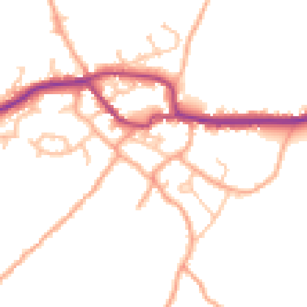
Daytime· 07:00 – 23:00
48.4dB

Night-time· 23:00 – 07:00
39.1dB