9 Castle Meadows, Pontesbury, Shrewsbury, SY5 0QE
About 9 Castle Meadows
9 Castle Meadows is a one-bedroom property in Pontesbury, Shrewsbury, Shrewsbury (SY5 0QE). It has council tax band A.
Untraded for 19 years, with the last transfer in November 2007. That sale landed at the peak of the pre-credit-crunch market, which is a useful reference point when interpreting the price. Across 2003–2007, sale prices on this property compounded at 7.8% per year. 1 bedrooms is on the smaller side for this postcode, where 3 is the typical count.
What this property has
Inside
- Bedrooms1
Everything you need to know about 9 Castle Meadows
The true value, the hidden risks and the full sale history, in one report.
30-day money-back guarantee

The data behind every report


Energy performance
No EPC on record
This property doesn't have an Energy Performance Certificate yet. An EPC is required to sell or let — and unlocks our automated valuation.
Planning history
9 Castle Meadows has no planning applications on record.
Notable planning nearby
1applications of note in the surrounding area
Sales history & valuation
9 Castle Meadows saw 3 transfers in just over a decade — high turnover for the postcode.
£95,000
Growth on file: 7.8% per year over 4 years.
Sales timeline
9 November 2007Most recent
£95,000
+15.2%over 2 years13 October 2005
£82,500
+17.9%over 1 year23 October 2003
£70,000
Median price across the last 3 sales in SY5 0QE: £224,500 (2019–2004).
Everything you need to know about 9 Castle Meadows
The true value, the hidden risks and the full sale history, in one report.
30-day money-back guarantee
The data behind every report
Similar properties nearby
1 Birch Row, Pontesbury
SY5 0QQ
1 Alder Drive, Minsterley
SY5 0AT
1 Ashford Close, Pontesbury
SY5 0QS
1 Briar Close, Minsterley
SY5 0AX
1 Brook Villas, Pontesbury
SY5 0RY
1 Broom Drive, Minsterley
SY5 0AZ
1 Alca, Main Road, Pontesbury
SY5 0RR
1, Arscott, Pontesbury
SY5 0XP
The neighbourhood at a glance
Daytime road noise here sits well below conversation level — a quiet pocket of the postcode.
Crime
3/mo
Steady year-on-year across the wider district.
Closest school
0.3 km
Pontesbury CofE Primary School. 3 schools nearby.
Go deeper on the local area
The full report breaks down crime, transport links, schools and air quality in depth.
Road noise across the postcode
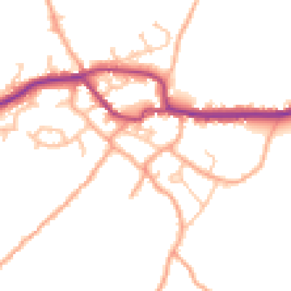
Daytime· 07:00 – 23:00
48.4dB

Night-time· 23:00 – 07:00
39.1dB