87 Callow Crescent, Minsterley, Shrewsbury, SY5 0DD
About 87 Callow Crescent
87 Callow Crescent is a semi-detached house in Minsterley, Shrewsbury, Shrewsbury (SY5 0DD). It has a recorded floor area of 64 m² (around 689 sq ft), construction records dating it to 1967-1975 and council tax band A. At 64 m² this is the 15th smallest of 18 units on EPC record in the building, where floor areas span 44–100 m². The building's EPC ratings span E to A across 18 units on file. The latest certificate (January 2022) shows a C (score 75), near the top of the C band.
At 64 m² it's 25.5% larger than the typical home in the postcode (51 m² median across 17 EPCs).
Everything you need to know about 87 Callow Crescent
The true value, the hidden risks and the full sale history, in one report.
30-day money-back guarantee

The data behind every report


Energy performance
EPC Rating
Planning history
87 Callow Crescent has no planning applications on record.
Notable planning nearby
1applications of note in the surrounding area
Sales history & valuation
87 Callow Crescent has no Land Registry sales on file, suggesting it has stayed in the same hands since registration began.
£127,000
Modelled from EPC, postcode comparables.
No sales recorded with HM Land Registry
That can mean the property has never traded since the registry began publishing in 1995, was a new build that hasn't been registered yet, or is held in the same hands long-term.
Median price across the last 3 sales in SY5 0DD: £88,000 (2007–1998).
Versus other Callow Crescent homes
87 Callow Crescent outperforms the street on floor area by a wide margin.
EPC Rating
75 (C)
Street avg 67 (D)
Floor Area
64 m²
Street avg 52 m²
CO₂ Emissions
2.0 t/year
Street avg 3.0 t/year
Habitable Rooms
3 rooms
Street avg 2 rooms
Everything you need to know about 87 Callow Crescent
The true value, the hidden risks and the full sale history, in one report.
30-day money-back guarantee
The data behind every report
Similar properties nearby
1 Castle Meadows, Pontesbury
SY5 0QE
1 Bailey Crescent, Pontesbury
SY5 0RE
1 Birch Row, Pontesbury
SY5 0QQ
1 Bridge Mews, Minsterley
SY5 0BA
1 Alder Drive, Minsterley
SY5 0AT
1 Castle Green, Station Road, Pontesbury
SY5 0QX
1 Bath Mews, Minsterley
SY5 0FD
1 Callow Crescent, Minsterley
SY5 0BY
The neighbourhood at a glance
Daytime road noise here sits well below conversation level — a quiet pocket of the postcode.
Crime
3/mo
Steady year-on-year across the wider district.
Closest school
0.2 km
Minsterley Primary School. 3 schools nearby.
Go deeper on the local area
The full report breaks down crime, transport links, schools and air quality in depth.
Road noise across the postcode
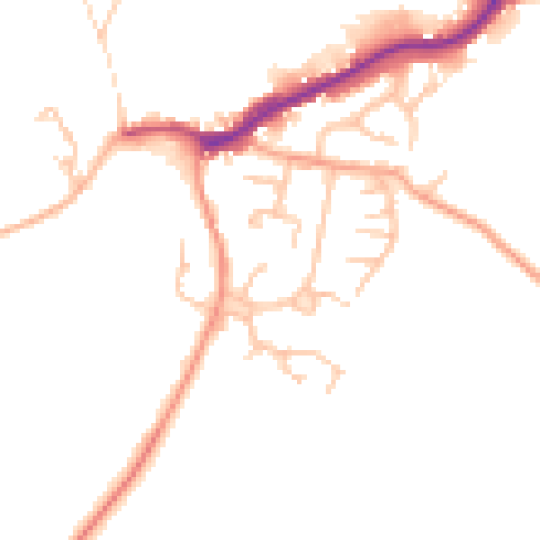
Daytime· 07:00 – 23:00
46.7dB

Night-time· 23:00 – 07:00
38.9dB