7 Applewood Close, Shrewsbury, SY3 9GA
About 7 Applewood Close
7 Applewood Close is a detached house in Shrewsbury (SY3 9GA). It has a recorded floor area of 124 m² (around 1335 sq ft) and council tax band E. The latest certificate (July 2014) returns a B (score 83), comfortably above the UK average. The recommended improvements would push it to A (score 93). The latest certificate is from July 2014, so improvements made since then won't be reflected.
At 124 m² the property is well over the postcode median (72 m² across 6 EPCs), placing it in the larger end of the local stock. Today's modelled estimate of £423,000 sits 71.3% above the 2014 sale of £247,000. On a £-per-square-foot basis, the last sale (£185/sq ft) was about 26.8% below the postcode norm. 12 years since the last transfer (July 2014).
Everything you need to know about 7 Applewood Close
The true value, the hidden risks and the full sale history, in one report.
30-day money-back guarantee

The data behind every report


Energy performance
7 Applewood Close's EPC is over a decade old — improvements since won't be reflected.
EPC Expired
This certificate is over 10 years old and is no longer valid.Expired 15 Jul 2024
EPC Rating
Planning history
7 Applewood Close has no planning applications on record.
Notable planning nearby
2applications of note in the surrounding area
We flagged 1 thing worth checking at 7 Applewood Close
Independent checks surfaced things a buyer would want to understand before offering. The report explains each one in full, with the underlying data and what to ask.
- Larger development activity nearby
30-day money-back guarantee
Sales history & valuation
7 Applewood Close valuation sits well clear of the typical sold price in this postcode.
£423,000
Modelled from EPC, postcode comparables.
£247,000
Recorded with HM Land Registry.
Sales timeline
6 July 2014Most recent
£247,000
Median price across the last 5 sales in SY3 9GA: £220,000 (2022–2018).
Nearby sales in SY3 9GA
Versus other Applewood Close homes
Price per m² for 7 Applewood Close lags the street by a wide margin.
Price per m²
£1,992
Street avg £2,895
Floor Area
124 m²
Street avg 77 m²
CO₂ Emissions
2.0 t/year
Street avg 1.4 t/year
Years Held
12 years
Street avg 8 years
Everything you need to know about 7 Applewood Close
The true value, the hidden risks and the full sale history, in one report.
30-day money-back guarantee
The data behind every report
Similar properties nearby
The neighbourhood at a glance
Crime
9/mo
Steady year-on-year across the wider district.
Nearest stop
2.0 km
Bus Station Timetable — bus stop.
Closest school
0.5 km
Meole Brace Church of England Primary School and Nursery. 12 schools nearby.
Go deeper on the local area
The full report breaks down crime, transport links, schools and air quality in depth.
Road noise across the postcode
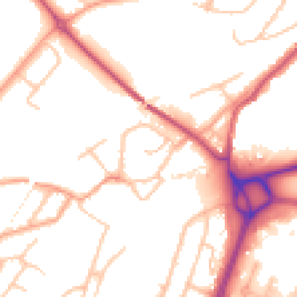
Daytime· 07:00 – 23:00
52.3dB

Night-time· 23:00 – 07:00
42.8dB