5 Breidden View, Shrewsbury, SY3 8NN
About 5 Breidden View
5 Breidden View is a semi-detached house in Shrewsbury (SY3 8NN). It has a recorded floor area of 108 m² (around 1163 sq ft) and construction records dating it to before 1900. The latest certificate (May 2022) shows a C (score 75), near the top of the C band. The rating has held steady at C across 2 certificates since May 2022. The recommended improvements would push it to B (score 85).
On energy efficiency it sits in the top 10% of properties in this postcode. Across 2019–2022, sale prices on this property compounded at 7.2% per year. Today's modelled estimate of £453,000 sits 262.4% above the 2022 sale of £124,999. On a £-per-square-foot basis, the last sale (£108/sq ft) was about 35% below the postcode norm. Most recent transfer: June 2022 at £124,999. That sale was during the post-pandemic price surge, when transactions cleared materially above pre-2020 trend.
Everything you need to know about 5 Breidden View
The true value, the hidden risks and the full sale history, in one report.
30-day money-back guarantee

The data behind every report


Energy performance
5 Breidden View ranks among the most efficient homes in the postcode for energy use.
EPC Rating
Planning history
5 Breidden View has no planning applications on record.
The full report still covers planning activity across the surrounding area.
Sales history & valuation
5 Breidden View's modelled value sits at over four times its earliest registered sale price (2019).
£453,000
Modelled from EPC, postcode comparables and a sale-price growth of 7.2% per year over 3 years.
£124,999
Growth on file: 7.2% per year over 3 years.
Sales timeline
22 June 2022Most recent
£124,999
+20.2%over 2 years1 November 2019
£104,000
Median price across the last 5 sales in SY3 8NN: £126,000 (2023–2016).
Nearby sales in SY3 8NN
Versus other Breidden View homes
EPC Rating for 5 Breidden View runs comfortably ahead of the street norm.
Price per m²
£1,157
Street avg £1,898
Floor Area
108 m²
Street avg 103 m²
Habitable Rooms
6 rooms
Street avg 5 rooms
CO₂ Emissions
3.0 t/year
Street avg 7.0 t/year
Everything you need to know about 5 Breidden View
The true value, the hidden risks and the full sale history, in one report.
30-day money-back guarantee
The data behind every report
Similar properties nearby
The neighbourhood at a glance
Daytime road noise here sits well below conversation level — a quiet pocket of the postcode.
Crime
9/mo
Steady year-on-year across the wider district.
Nearest stop
0.9 km
Bus Station Timetable — bus stop.
Closest school
0.4 km
Shrewsbury College. 17 schools nearby.
Go deeper on the local area
The full report breaks down crime, transport links, schools and air quality in depth.
Road noise across the postcode
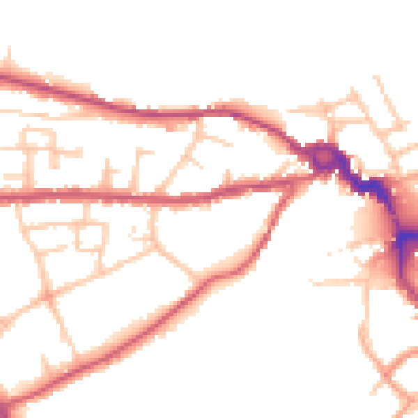
Daytime· 07:00 – 23:00
48.7dB

Night-time· 23:00 – 07:00
41.0dB