19 Brunel Way, Shrewsbury, SY3 7PL
About 19 Brunel Way
19 Brunel Way is a semi-detached house in Shrewsbury (SY3 7PL). It has a recorded floor area of 81 m² (around 876 sq ft), construction records dating it to 1950-1966 and council tax band B. The latest certificate (September 2010) shows a C (score 75), near the top of the C band. The latest certificate is from September 2010, so improvements made since then won't be reflected.
At 81 m² the property is well over the postcode median (45 m² across 11 EPCs), placing it in the larger end of the local stock.
Everything you need to know about 19 Brunel Way
The true value, the hidden risks and the full sale history, in one report.
30-day money-back guarantee

The data behind every report


Energy performance
19 Brunel Way's EPC is over a decade old — improvements since won't be reflected.
EPC Expired
This certificate is over 10 years old and is no longer valid.Expired 21 Sept 2020
EPC Rating
Planning history
19 Brunel Way has no planning applications on record.
The full report still covers planning activity across the surrounding area.
Sales history & valuation
19 Brunel Way has no Land Registry sales on file, suggesting it has stayed in the same hands since registration began.
£227,000
Modelled from EPC, postcode comparables.
No sales recorded with HM Land Registry
That can mean the property has never traded since the registry began publishing in 1995, was a new build that hasn't been registered yet, or is held in the same hands long-term.
Median price across the last 3 sales in SY3 7PL: £140,000 (2024–2002).
Versus other Brunel Way homes
EPC Rating for 19 Brunel Way runs comfortably ahead of the street norm.
EPC Rating
75 (C)
Street avg 71 (C)
Floor Area
81 m²
Street avg 64 m²
CO₂ Emissions
2.5 t/year
Street avg 2.5 t/year
Habitable Rooms
4 rooms
Street avg 3 rooms
Everything you need to know about 19 Brunel Way
The true value, the hidden risks and the full sale history, in one report.
30-day money-back guarantee
The data behind every report
Similar properties nearby
1 Bromfield Drive
SY3 7QE
1 Brook Gardens, Brook Street
SY3 7QS
1 Brightwell
SY3 7TQ
1 Burley Street
SY3 7JJ
1 Adams Ridge
SY3 7TZ
1 Bynner Street
SY3 7PB
1 Belan Cottages, Old Coleham
SY3 7BU
1 Avenue Terrace, Lime Street
SY3 7EA
The neighbourhood at a glance
Crime
9/mo
Steady year-on-year across the wider district.
Nearest stop
1.3 km
Bus Station Timetable — bus stop.
Closest school
0.6 km
Coleham Primary School. 18 schools nearby.
Go deeper on the local area
The full report breaks down crime, transport links, schools and air quality in depth.
Road noise across the postcode
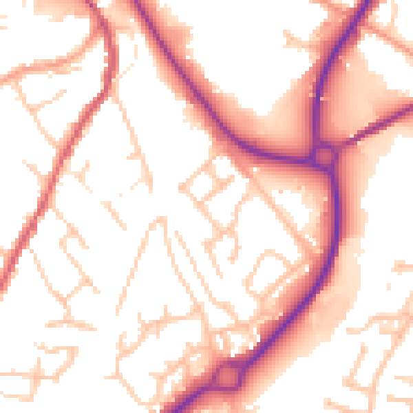
Daytime· 07:00 – 23:00
53.9dB
Night-time· 23:00 – 07:00
44.4dB