33 Bridgeford Way, Shrewsbury, SY2 5XX
About 33 Bridgeford Way
33 Bridgeford Way is a two-bedroom property in Shrewsbury (SY2 5XX). It has a recorded floor area of 58 m² (around 624 sq ft), construction records dating it to 1991-1995 and council tax band A. At 58 m² this is the 15th smallest of 63 units on EPC record in the building, where floor areas span 41–77 m². The building's EPC ratings span D to B across 63 units on file. The latest certificate (September 2025) shows a C (score 76), near the top of the C band.
Untraded for 22 years, with the last transfer in February 2004. Today's modelled estimate of £145,000 sits 93.3% above the 2004 sale of £75,000. At 58 m² it's 23.2% smaller than the typical home in the postcode (76 m² median across 62 EPCs).
What this property has
Inside
- Bedrooms2
- Bathrooms1
- Dining roomYes
Outside
- Private gardenYes
- ParkingAllocated
Building
- RefurbishedYes
Everything you need to know about 33 Bridgeford Way
The true value, the hidden risks and the full sale history, in one report.
30-day money-back guarantee

The data behind every report


Energy performance
EPC Rating
Planning history
33 Bridgeford Way has no planning applications on record.
Notable planning nearby
3applications of note in the surrounding area
We flagged 1 thing worth checking at 33 Bridgeford Way
Independent checks surfaced things a buyer would want to understand before offering. The report explains each one in full, with the underlying data and what to ask.
- Larger development activity nearby
30-day money-back guarantee
Sales history & valuation
33 Bridgeford Way valuation sits well clear of the typical sold price in this postcode.
£145,000
Modelled from EPC, postcode comparables.
£75,000
Recorded with HM Land Registry.
Sales timeline
11 February 2004Most recent
£75,000
Median price across the last 5 sales in SY2 5XX: £113,000 (2024–2008).
Versus other Bridgeford Way homes
33 Bridgeford Way outperforms the street on floor area by a wide margin.
EPC Rating
76 (C)
Street avg 71 (C)
Floor Area
58 m²
Street avg 53 m²
CO₂ Emissions
1.6 t/year
Street avg 2.5 t/year
Habitable Rooms
3 rooms
Street avg 3 rooms
Everything you need to know about 33 Bridgeford Way
The true value, the hidden risks and the full sale history, in one report.
30-day money-back guarantee
The data behind every report
Similar properties nearby
The neighbourhood at a glance
Crime
1/mo
Steady year-on-year across the wider district.
Nearest stop
1.5 km
Shrewsbury Rail Station — railway station.
Closest school
0.3 km
Wilfred Owen Primary School. 17 schools nearby.
Go deeper on the local area
The full report breaks down crime, transport links, schools and air quality in depth.
Road noise across the postcode
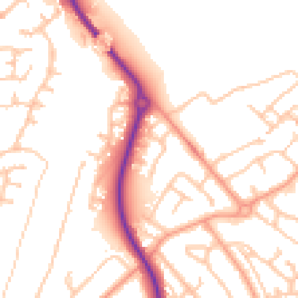
Daytime· 07:00 – 23:00
52.2dB

Night-time· 23:00 – 07:00
41.4dB