5 Abingdon Road, Shrewsbury, SY2 5XF
About 5 Abingdon Road
5 Abingdon Road is a three-bedroom semi-detached house in Shrewsbury (SY2 5XF). It has a recorded floor area of 105 m² (around 1130 sq ft), construction records dating it to 1967-1975 and council tax band C. The latest certificate (February 2017) shows a C (score 73). The recommended improvements would push it to B (score 85).
At 105 m² it's 23.5% larger than the typical home in the postcode (85 m² median across 11 EPCs). Across 2007–2020, sale prices on this property compounded at 2.2% per year. Today's modelled estimate of £292,000 is 33.6% above the 2020 sale price. On a £-per-square-foot basis, the last sale (£193/sq ft) was about 15.8% above the typical sold price in the postcode. Sold August 2020 for £218,500.
What this property has
Inside
- Bedrooms3
- Bathrooms1
Everything you need to know about 5 Abingdon Road
The true value, the hidden risks and the full sale history, in one report.
30-day money-back guarantee

The data behind every report


Energy performance
EPC Rating
Planning history
5 Abingdon Road has no planning applications on record.
Notable planning nearby
3applications of note in the surrounding area
We flagged 1 thing worth checking at 5 Abingdon Road
Independent checks surfaced things a buyer would want to understand before offering. The report explains each one in full, with the underlying data and what to ask.
- Larger development activity nearby
30-day money-back guarantee
Sales history & valuation
The latest sale landed in the post-pandemic price surge — useful context when reading the figure.
£292,000
Modelled from EPC, postcode comparables and a sale-price growth of 2.2% per year over 13 years.
£218,500
Growth on file: 2.2% per year over 13 years.
Sales timeline
6 August 2020Most recent
£218,500
+12.1%over 3 years1 June 2017
£195,000
+19.6%over 10 years20 May 2007
£163,000
Median price across the last 5 sales in SY2 5XF: £185,000 (2023–2015).
Nearby sales in SY2 5XF
Versus other Abingdon Road homes
On floor area, 5 Abingdon Road stands well clear of the street.
Price per m²
£2,081
Street avg £2,056
Floor Area
105 m²
Street avg 87 m²
Habitable Rooms
6 rooms
Street avg 5 rooms
CO₂ Emissions
3.3 t/year
Street avg 3.7 t/year
Everything you need to know about 5 Abingdon Road
The true value, the hidden risks and the full sale history, in one report.
30-day money-back guarantee
The data behind every report
Similar properties nearby
The neighbourhood at a glance
Crime
1/mo
Steady year-on-year across the wider district.
Nearest stop
1.9 km
Shrewsbury Rail Station — railway station.
Closest school
0.3 km
Belvidere Primary School. 16 schools nearby.
Go deeper on the local area
The full report breaks down crime, transport links, schools and air quality in depth.
Road noise across the postcode
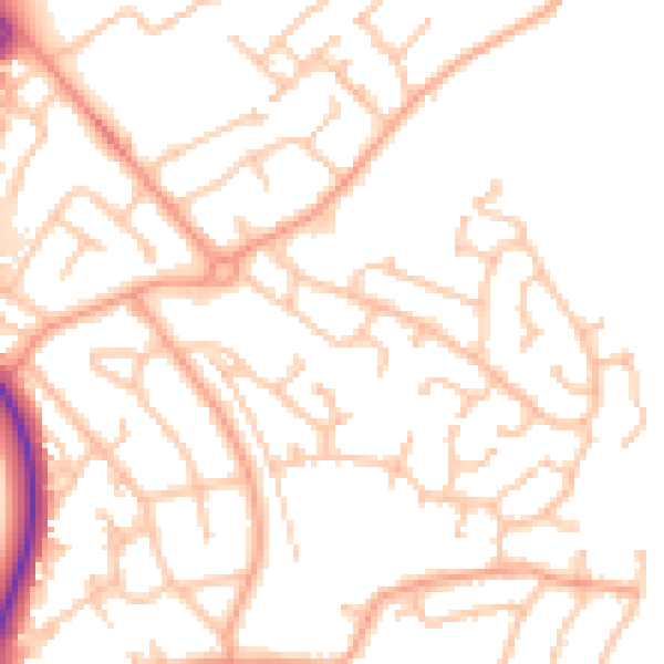
Daytime· 07:00 – 23:00
51.1dB

Night-time· 23:00 – 07:00
40.2dB