25 Abingdon Road, Shrewsbury, SY2 5XF
About 25 Abingdon Road
25 Abingdon Road is a three-bedroom semi-detached house in Shrewsbury (SY2 5XF). It has a recorded floor area of 95 m² (around 1023 sq ft), construction records dating it to 1950-1966 and council tax band C. The latest certificate (January 2015) shows a D (score 62), on the cusp of jumping into the C band. The recommended improvements would lift it to B (score 86), a 2-band jump. The latest certificate is from January 2015, so improvements made since then won't be reflected.
Today's modelled estimate of £290,000 sits 65.7% above the 2015 sale of £175,000. 2 planning records sit against the property, 2 approved, 0 refused. Past consents include an extension and a conservatory, meaningful when judging how the property has evolved. Last changed hands 11 years ago, in February 2015.
What this property has
Inside
- Bedrooms3
- Bathrooms1
- Dining roomYes
Outside
- Private gardenYes
- GarageYes
Building
- Heating systemGas
Everything you need to know about 25 Abingdon Road
The true value, the hidden risks and the full sale history, in one report.
30-day money-back guarantee

The data behind every report


Energy performance
Recommended upgrades on file would lift this property by multiple EPC bands.
EPC Expired
This certificate is over 10 years old and is no longer valid.Expired 21 Jan 2025
EPC Rating
Planning history
25 Abingdon Road has an approved single-storey side extension on the planning record.
- Oct 2020ExtensionFullIn report
Application under Section 73A of the Town and Country Planning Act 1990 for erection of part two storey and part single storey extension and alterations; erection of playhouse (part retrospective)
Retrospective- Documents
- 10 docs on file
- Reference
- 20/02981/FUL
- Apr 2019ConservatoryFullIn report
Extension: Single storey · Side of property
Erection of single storey conservatory to side elevation
Extension- Documents
- 33 docs on file
- Reference
- 19/00595/FUL
We flagged 1 thing worth checking at 25 Abingdon Road
Independent checks surfaced things a buyer would want to understand before offering. The report explains each one in full, with the underlying data and what to ask.
- Larger development activity nearby
30-day money-back guarantee
Sales history & valuation
25 Abingdon Road valuation sits well clear of the typical sold price in this postcode.
£290,000
Modelled from EPC, postcode comparables.
£175,000
Recorded with HM Land Registry.
Sales timeline
27 February 2015Most recent
£175,000
Median price across the last 5 sales in SY2 5XF: £215,000 (2023–2017).
Nearby sales in SY2 5XF
Versus other Abingdon Road homes
25 Abingdon Road is notably below the street on co₂ emissions.
Price per m²
£1,842
Street avg £2,079
Floor Area
95 m²
Street avg 88 m²
Habitable Rooms
5 rooms
Street avg 5 rooms
CO₂ Emissions
4.5 t/year
Street avg 3.5 t/year
Everything you need to know about 25 Abingdon Road
The true value, the hidden risks and the full sale history, in one report.
30-day money-back guarantee
The data behind every report
Similar properties nearby
The neighbourhood at a glance
Crime
1/mo
Steady year-on-year across the wider district.
Nearest stop
1.9 km
Shrewsbury Rail Station — railway station.
Closest school
0.3 km
Belvidere Primary School. 16 schools nearby.
Go deeper on the local area
The full report breaks down crime, transport links, schools and air quality in depth.
Road noise across the postcode
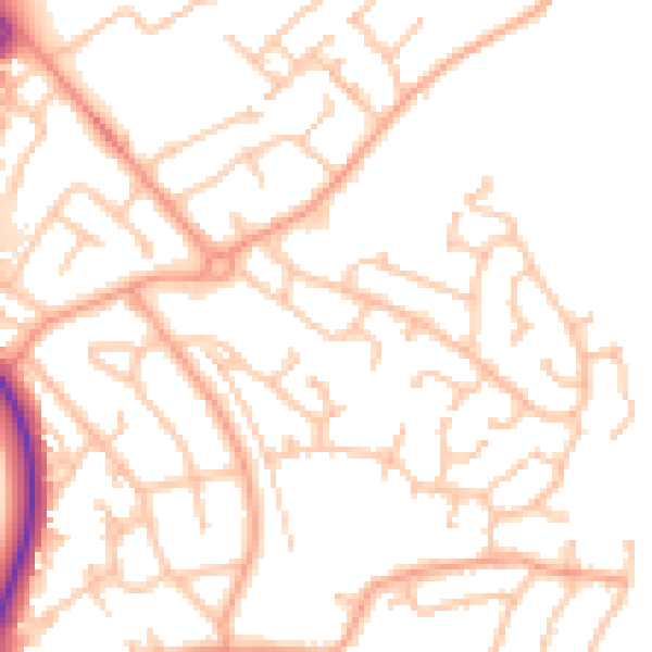
Daytime· 07:00 – 23:00
51.1dB

Night-time· 23:00 – 07:00
40.2dB