9 Ashley Street, Shrewsbury, SY2 5DU
About 9 Ashley Street
9 Ashley Street is a three-bedroom semi-detached house in Shrewsbury (SY2 5DU). It has a recorded floor area of 105 m² (around 1130 sq ft), construction records dating it to before 1900 and council tax band C. The latest certificate (December 2020) shows a D (score 61), on the cusp of jumping into the C band. The recommended improvements would lift it to B (score 83), a 2-band jump.
Held since September 2004 — that's 22 years off the open market, well above the local norm. Across 1996–2004, sale prices on this property compounded at 20.9% per year. Today's modelled estimate of £324,000 sits 79% above the 2004 sale of £181,000.
What this property has
Inside
- Bedrooms3
- Bathrooms1
Everything you need to know about 9 Ashley Street
The true value, the hidden risks and the full sale history, in one report.
30-day money-back guarantee

The data behind every report


Energy performance
Recommended upgrades on file would lift this property by multiple EPC bands.
EPC Rating
Planning history
9 Ashley Street has no planning applications on record.
Notable planning nearby
3applications of note in the surrounding area
We flagged 1 thing worth checking at 9 Ashley Street
Independent checks surfaced things a buyer would want to understand before offering. The report explains each one in full, with the underlying data and what to ask.
- Larger development activity nearby
30-day money-back guarantee
Sales history & valuation
Price for 9 Ashley Street has grown more than fourfold since the 1996 starting point.
£324,000
Modelled from EPC, postcode comparables and a sale-price growth of 20.9% per year over 8 years.
£181,000
Growth on file: 20.9% per year over 8 years.
Sales timeline
6 September 2004Most recent
£181,000
+331.0%over 7 years20 December 1996
£42,000
Median price across the last 5 sales in SY2 5DU: £345,000 (2025–2023).
Nearby sales in SY2 5DU
Versus other Ashley Street homes
9 Ashley Street outperforms the street on years held by a wide margin.
Price per m²
£1,724
Street avg £2,709
Floor Area
105 m²
Street avg 100 m²
Habitable Rooms
6 rooms
Street avg 6 rooms
CO₂ Emissions
4.9 t/year
Street avg 5.8 t/year
Everything you need to know about 9 Ashley Street
The true value, the hidden risks and the full sale history, in one report.
30-day money-back guarantee
The data behind every report
Similar properties nearby
The neighbourhood at a glance
Rail-style transport is unusually close for this postcode.
Crime
1/mo
Steady year-on-year across the wider district.
Nearest stop
0.9 km
Shrewsbury Rail Station — railway station.
Closest school
0.7 km
Crowmoor Primary School. 19 schools nearby.
Go deeper on the local area
The full report breaks down crime, transport links, schools and air quality in depth.
Road noise across the postcode
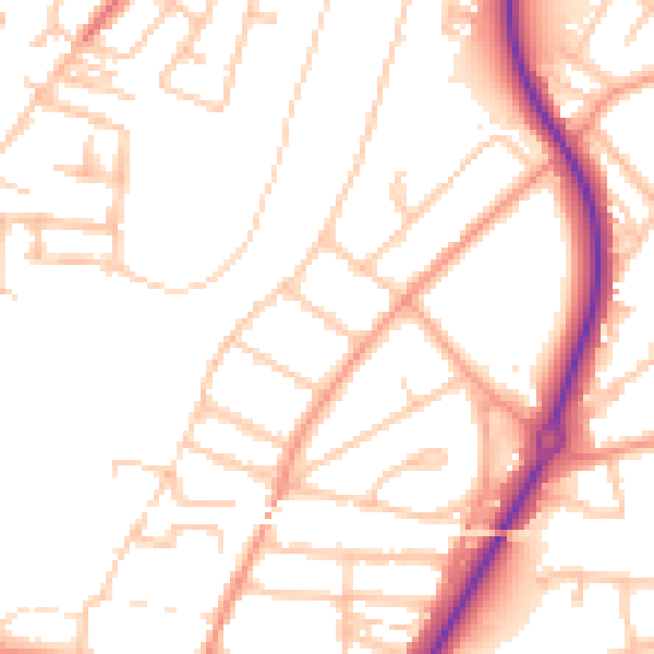
Daytime· 07:00 – 23:00
50.9dB

Night-time· 23:00 – 07:00
40.7dB