80 Monkmoor Road, Shrewsbury, SY2 5AY
About 80 Monkmoor Road
80 Monkmoor Road is a three-bedroom detached house in Shrewsbury (SY2 5AY). It has a recorded floor area of 114 m² (around 1227 sq ft), construction records dating it to 1900-1929 and council tax band D. The latest certificate (August 2024) shows a D (score 58), a step below the typical UK home. The recommended improvements would push it to C (score 76). Records show the property has been extended at some point in its history.
Most recent transfer was June 2025 at £415,000 — fresh data. Across 2000–2025, sale prices on this property compounded at 6.4% per year. On a £-per-square-foot basis, the last sale (£338/sq ft) was about 97.6% above the typical sold price in the postcode.
What this property has
Inside
- Bedrooms3
- Bathrooms1
- Dining roomYes
- Utility roomYes
- CloakroomYes
- FireplaceYes
Outside
- Private gardenRear
- DrivewayYes
Building
- Previously extendedYes
- RefurbishedYes
Everything you need to know about 80 Monkmoor Road
The true value, the hidden risks and the full sale history, in one report.
30-day money-back guarantee

The data behind every report


Energy performance
EPC Rating
Planning history
80 Monkmoor Road has no planning applications on record.
Notable planning nearby
3applications of note in the surrounding area
We flagged 1 thing worth checking at 80 Monkmoor Road
Independent checks surfaced things a buyer would want to understand before offering. The report explains each one in full, with the underlying data and what to ask.
- Larger development activity nearby
30-day money-back guarantee
Sales history & valuation
Latest sale on 80 Monkmoor Road was the highest on Land Registry record across the postcode.
£417,000
Modelled from EPC, postcode comparables and a sale-price growth of 6.4% per year over 25 years.
£415,000
Growth on file: 6.4% per year over 25 years.
Sales timeline
10 June 2025Most recent
£415,000
+159.4%over 22 years25 July 2002
£159,999
+86.0%over 2 years17 February 2000
£86,000
Median price across the last 5 sales in SY2 5AY: £220,000 (2016–2006).
Nearby sales in SY2 5AY
Versus other Monkmoor Road homes
On price per m², 80 Monkmoor Road stands well clear of the street.
Price per m²
£3,640
Street avg £1,897
Floor Area
114 m²
Street avg 128 m²
Habitable Rooms
7 rooms
Street avg 6 rooms
CO₂ Emissions
5.2 t/year
Street avg 6.0 t/year
Everything you need to know about 80 Monkmoor Road
The true value, the hidden risks and the full sale history, in one report.
30-day money-back guarantee
The data behind every report
Similar properties nearby
The neighbourhood at a glance
Crime
1/mo
Steady year-on-year across the wider district.
Nearest stop
1.0 km
Shrewsbury Rail Station — railway station.
Closest school
0.6 km
Crowmoor Primary School. 19 schools nearby.
Go deeper on the local area
The full report breaks down crime, transport links, schools and air quality in depth.
Road noise across the postcode
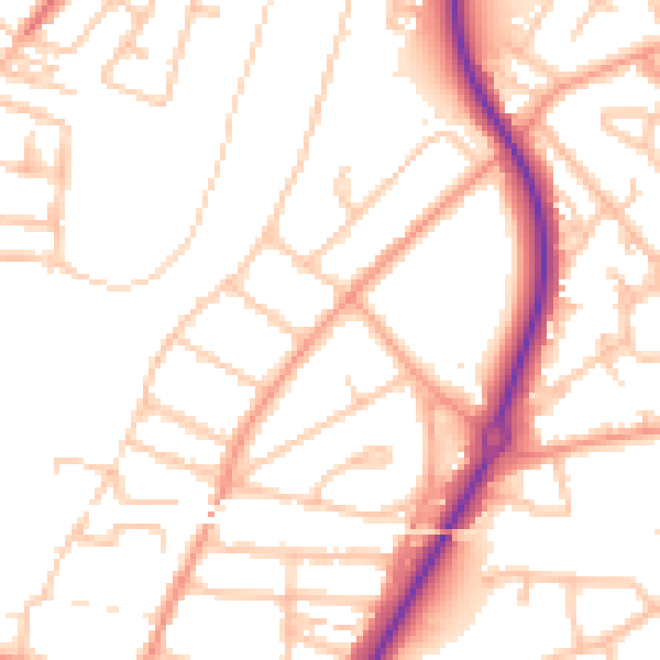
Daytime· 07:00 – 23:00
51.4dB
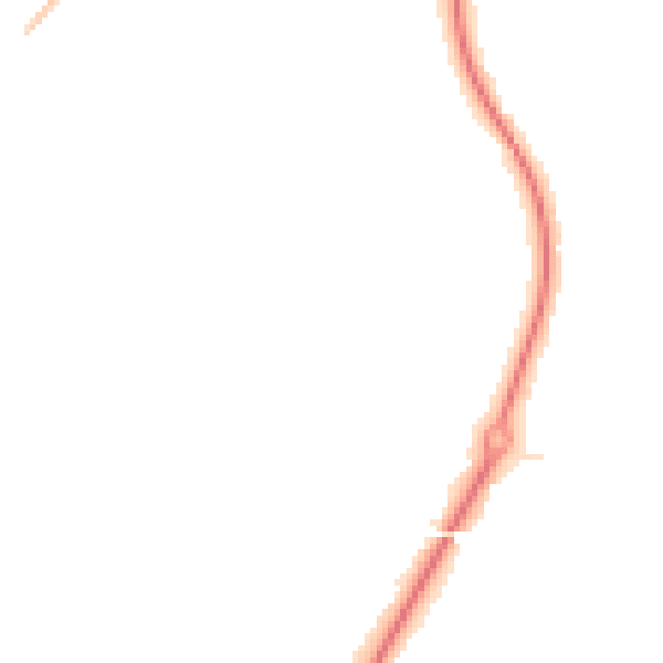
Night-time· 23:00 – 07:00
40.9dB