70 Monkmoor Road, Shrewsbury, SY2 5AX
About 70 Monkmoor Road
70 Monkmoor Road is a four-bedroom detached house in Shrewsbury (SY2 5AX). It has a recorded floor area of 157 m² (around 1690 sq ft), construction records dating it to 1900-1929 and council tax band D. The latest certificate (December 2024) shows a D (score 67), on the cusp of jumping into the C band. When first surveyed in February 2016 the rating was E, the property has climbed 1 band since. Between certificates, wall efficiency went from Very Poor to Poor and roof efficiency went from Average to Good. The recommended improvements would lift it to B (score 81), a 2-band jump. Other recorded features include a conservatory. Records show the property has been extended at some point in its history.
At 157 m² the property is well over the postcode median (99 m² across 3 EPCs), placing it in the larger end of the local stock. It changed hands recently, sold March 2025 for £465,000. 2 planning records sit against the property, 2 approved, 0 refused. Past consents include an extension and a conservatory, meaningful when judging how the property has evolved. Across 2000–2025, sale prices on this property compounded at 7.1% per year. On a £-per-square-foot basis, the last sale (£275/sq ft) was about 44.1% above the typical sold price in the postcode.
What this property has
Inside
- Bedrooms4
- Bathrooms2
- Dining roomYes
- EnsuiteYes
- ConservatoryYes
Outside
- Private gardenRear
- GarageYes
Building
- Previously extendedYes
- RefurbishedYes
Everything you need to know about 70 Monkmoor Road
The true value, the hidden risks and the full sale history, in one report.
30-day money-back guarantee

The data behind every report


Energy performance
Recommended upgrades on file would lift this property by multiple EPC bands.
EPC Rating
Property Improvements
Changes detected from historical EPC data
Heating controls upgraded for better temperature management
Wall insulation improved
Roof insulation improved
Planning history
70 Monkmoor Road has an approved extension on the planning record.
- Aug 2017ConservatoryFullIn report
Erection of replacement conservatory
Extension- Documents
- 10 docs on file
- Reference
- 17/03170/FUL
- Apr 2008ExtensionFullIn report
Erection of a two storey rear extension and single storey side extension
- Documents
- 4 docs on file
- Reference
- SA/08/0177/F
We flagged 1 thing worth checking at 70 Monkmoor Road
Independent checks surfaced things a buyer would want to understand before offering. The report explains each one in full, with the underlying data and what to ask.
- Larger development activity nearby
30-day money-back guarantee
Sales history & valuation
Latest sale on 70 Monkmoor Road was the highest on Land Registry record across the postcode.
£494,000
Modelled from EPC, postcode comparables and a sale-price growth of 7.1% per year over 25 years.
£465,000
Growth on file: 7.1% per year over 25 years.
Sales timeline
30 March 2025Most recent
£465,000
+50.0%over 8 years28 July 2016
£310,000
+264.7%over 16 years8 June 2000
£85,000
Median price across the last 5 sales in SY2 5AX: £221,500 (2024–2007).
Versus other Monkmoor Road homes
70 Monkmoor Road is notably below the street on years held.
Price per m²
£2,962
Street avg £3,059
Floor Area
157 m²
Street avg 104 m²
Habitable Rooms
7 rooms
Street avg 6 rooms
CO₂ Emissions
5.3 t/year
Street avg 4.8 t/year
Everything you need to know about 70 Monkmoor Road
The true value, the hidden risks and the full sale history, in one report.
30-day money-back guarantee
The data behind every report
Similar properties nearby
The neighbourhood at a glance
Rail-style transport is unusually close for this postcode.
Crime
1/mo
Steady year-on-year across the wider district.
Nearest stop
1.0 km
Shrewsbury Rail Station — railway station.
Closest school
0.6 km
Crowmoor Primary School. 19 schools nearby.
Go deeper on the local area
The full report breaks down crime, transport links, schools and air quality in depth.
Road noise across the postcode
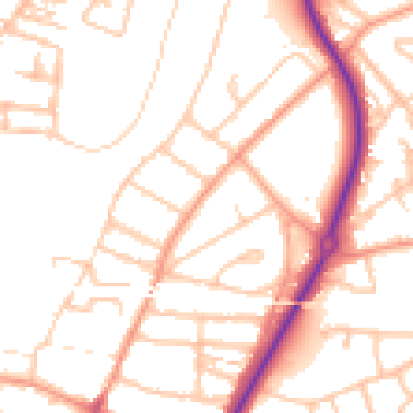
Daytime· 07:00 – 23:00
51.1dB

Night-time· 23:00 – 07:00
40.8dB