65 Monkmoor Road, Shrewsbury, SY2 5AT
About 65 Monkmoor Road
65 Monkmoor Road is a two-bedroom semi-detached house in Shrewsbury (SY2 5AT). It has a recorded floor area of 78 m² (around 839 sq ft) and construction records dating it to 1900-1929. The latest certificate (March 2010) shows a D (score 56), a step below the typical UK home. The latest certificate is from March 2010, so improvements made since then won't be reflected.
Across 1999–2024, sale prices on this property compounded at 1.5% per year. Today's modelled estimate of £193,000 sits 192.4% above the 2024 sale of £66,000. On a £-per-square-foot basis, the last sale (£79/sq ft) was about 39.3% below the postcode norm. At 78 m² it sits well below the postcode median (146 m² across 3 EPCs), making it one of the more compact homes locally. Most recent transfer: September 2024 at £66,000.
What this property has
Inside
- Bedrooms2
Everything you need to know about 65 Monkmoor Road
The true value, the hidden risks and the full sale history, in one report.
30-day money-back guarantee

The data behind every report


Energy performance
65 Monkmoor Road's EPC is over a decade old — improvements since won't be reflected.
EPC Expired
This certificate is over 10 years old and is no longer valid.Expired 05 Mar 2020
EPC Rating
Planning history
65 Monkmoor Road has no planning applications on record.
Notable planning nearby
3applications of note in the surrounding area
We flagged 1 thing worth checking at 65 Monkmoor Road
Independent checks surfaced things a buyer would want to understand before offering. The report explains each one in full, with the underlying data and what to ask.
- Larger development activity nearby
30-day money-back guarantee
Sales history & valuation
Latest sale on 65 Monkmoor Road was the lowest on Land Registry record across the postcode.
£193,000
Modelled from EPC, postcode comparables and a sale-price growth of 1.5% per year over 25 years.
£66,000
Growth on file: 1.5% per year over 25 years.
Sales timeline
9 September 2024Most recent
£66,000
+46.7%over 25 years29 July 1999
£45,000
Median price across the last 5 sales in SY2 5AT: £245,000 (2024–2004).
Everything you need to know about 65 Monkmoor Road
The true value, the hidden risks and the full sale history, in one report.
30-day money-back guarantee
The data behind every report
Similar properties nearby
The neighbourhood at a glance
Rail-style transport is unusually close for this postcode.
Crime
1/mo
Steady year-on-year across the wider district.
Nearest stop
0.9 km
Shrewsbury Rail Station — railway station.
Closest school
0.7 km
Crowmoor Primary School. 20 schools nearby.
Go deeper on the local area
The full report breaks down crime, transport links, schools and air quality in depth.
Road noise across the postcode
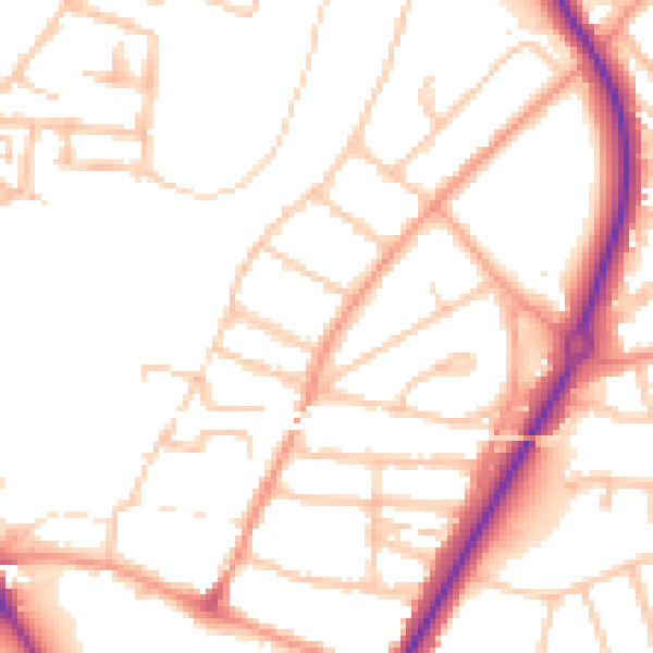
Daytime· 07:00 – 23:00
50.8dB

Night-time· 23:00 – 07:00
40.7dB