Flat B, 101 Meadow Farm Drive, Shrewsbury, SY1 4JX
About Flat B
Flat B is a detached house in Shrewsbury (SY1 4JX). It has a recorded floor area of 52 m² (around 560 sq ft) and construction records dating it to 1950-1966. The latest certificate (August 2019) shows a D (score 60), on the cusp of jumping into the C band. The rating has held steady at D across 2 certificates since March 2009. Between certificates, hot-water efficiency went from Poor to Average, lighting went from Average to Very Good and main heating went from Poor to Average; while wall efficiency dropped from Good to Average. The recommended improvements would push it to C (score 73). Main heating runs on electricity.
Everything you need to know about Flat B
The true value, the hidden risks and the full sale history, in one report.
30-day money-back guarantee

The data behind every report


Energy performance
EPC Rating
Property Improvements
Changes detected from historical EPC data
Hot water system upgraded
More low energy lighting installed
Planning history
Flat B has no planning applications on record.
The full report still covers planning activity across the surrounding area.
Sales history & valuation
Flat B has no Land Registry sales on file, suggesting it has stayed in the same hands since registration began.
£156,000
Modelled from EPC, postcode comparables.
No sales recorded with HM Land Registry
That can mean the property has never traded since the registry began publishing in 1995, was a new build that hasn't been registered yet, or is held in the same hands long-term.
Median price across the last 1 sales in SY1 4JX: £100,000 (2021–2021).
Nearby sales in SY1 4JX
Versus other Meadow Farm Drive homes
On floor area, Flat B runs well behind the street norm.
EPC Rating
60 (D)
Street avg 67 (D)
Floor Area
52 m²
Street avg 59 m²
CO₂ Emissions
4.5 t/year
Street avg 2.0 t/year
Habitable Rooms
3 rooms
Street avg 3 rooms
Everything you need to know about Flat B
The true value, the hidden risks and the full sale history, in one report.
30-day money-back guarantee
The data behind every report
Similar properties nearby
Flat, 65 Whitchurch Road
SY1 4EE
Flat, 2 Sundorne Avenue
SY1 4JP
Flat, 4 Sundorne Avenue
SY1 4JP
Flat, 3 Sundorne Avenue
SY1 4JW
Flat B, 105 Meadow Farm Drive
SY1 4JX
3a, Flat, Sundorne Avenue
SY1 4JW
Flat, 14 Alberbury Drive
SY1 4TA
Haughmond Court, Flat 1, Featherbed Lane
SY1 4NJ
The neighbourhood at a glance
Reported crime in the wider district is trending notably upward year-on-year.
Crime
10/mo
Rising year-on-year across the wider district.
Nearest stop
2.7 km
Shrewsbury Rail Station — railway station.
Closest school
0.2 km
Sundorne Infant School and Nursery. 14 schools nearby.
Go deeper on the local area
The full report breaks down crime, transport links, schools and air quality in depth.
Road noise across the postcode
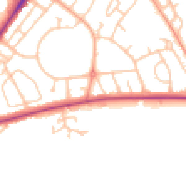
Daytime· 07:00 – 23:00
49.4dB

Night-time· 23:00 – 07:00
40.4dB