5 Coniston Road, Shrewsbury, SY1 4EB
About 5 Coniston Road
5 Coniston Road is a three-bedroom semi-detached house in Shrewsbury (SY1 4EB). It has a recorded floor area of 62 m² (around 667 sq ft), construction records dating it to 1950-1966 and council tax band B. The latest certificate (June 2020) shows a C (score 71). The rating has held steady at C across 3 certificates since August 2010. Between certificates, wall efficiency dropped from Good to Average and hot-water efficiency dropped from Very Good to Good. The recommended improvements would push it to B (score 86).
On energy efficiency it sits in the top 10% of properties in this postcode. Today's modelled estimate of £208,000 sits 67.1% above the 2014 sale of £124,500. Last changed hands 12 years ago, in May 2014.
What this property has
Inside
- Bedrooms3
- Bathrooms1
Outside
- Private gardenRear
- GarageYes
Building
- Heating systemGas
Everything you need to know about 5 Coniston Road
The true value, the hidden risks and the full sale history, in one report.
30-day money-back guarantee

The data behind every report


Energy performance
5 Coniston Road ranks among the most efficient homes in the postcode for energy use.
EPC Rating
Property Improvements
Changes detected from historical EPC data
Hot water efficiency decreased
More low energy lighting installed
Loft insulation upgraded to recommended levels
Planning history
5 Coniston Road has no planning applications on record.
The full report still covers planning activity across the surrounding area.
Sales history & valuation
5 Coniston Road valuation sits well clear of the typical sold price in this postcode.
£208,000
Modelled from EPC, postcode comparables.
£124,500
Recorded with HM Land Registry.
Sales timeline
8 May 2014Most recent
£124,500
Median price across the last 5 sales in SY1 4EB: £157,500 (2023–2017).
Nearby sales in SY1 4EB
Versus other Coniston Road homes
EPC Rating for 5 Coniston Road runs comfortably ahead of the street norm.
Price per m²
£2,008
Street avg £1,911
Floor Area
62 m²
Street avg 67 m²
Habitable Rooms
5 rooms
Street avg 5 rooms
CO₂ Emissions
2.4 t/year
Street avg 3.2 t/year
Everything you need to know about 5 Coniston Road
The true value, the hidden risks and the full sale history, in one report.
30-day money-back guarantee
The data behind every report
Similar properties nearby
The neighbourhood at a glance
Reported crime in the wider district is trending notably upward year-on-year.
Crime
10/mo
Rising year-on-year across the wider district.
Nearest stop
2.5 km
Shrewsbury Rail Station — railway station.
Closest school
0.6 km
Sundorne Infant School and Nursery. 14 schools nearby.
Go deeper on the local area
The full report breaks down crime, transport links, schools and air quality in depth.
Road noise across the postcode
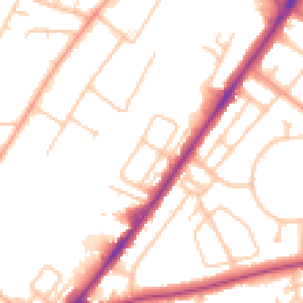
Daytime· 07:00 – 23:00
50.5dB

Night-time· 23:00 – 07:00
41.0dB