3 Coniston Road, Shrewsbury, SY1 4EB
About 3 Coniston Road
3 Coniston Road is a three-bedroom semi-detached house in Shrewsbury (SY1 4EB). It has a recorded floor area of 82 m² (around 883 sq ft), construction records dating it to 1930-1949 and council tax band B. The latest certificate (September 2020) shows a D (score 67), on the cusp of jumping into the C band. The rating has held steady at D across 2 certificates since July 2014. Between certificates, wall efficiency dropped from Good to Average. The recommended improvements would lift it to B (score 81), a 2-band jump. Other recorded features include outbuildings.
Across 2015–2018, sale prices on this property compounded at 3.2% per year. Today's modelled estimate of £244,000 sits 50.6% above the 2018 sale of £162,000. At 82 m² it's 28.1% larger than the typical home in the postcode (64 m² median across 11 EPCs). Sold October 2018 for £162,000.
What this property has
Inside
- Bedrooms3
- Bathrooms1
- FireplaceYes
Outside
- DrivewayYes
- OutbuildingsYes
Building
- Heating systemGas
- RefurbishedYes
Everything you need to know about 3 Coniston Road
The true value, the hidden risks and the full sale history, in one report.
30-day money-back guarantee

The data behind every report


Energy performance
Recommended upgrades on file would lift this property by multiple EPC bands.
EPC Rating
Property Improvements
Changes detected from historical EPC data
Windows upgraded, improving insulation
More low energy lighting installed
Planning history
3 Coniston Road has no planning applications on record.
The full report still covers planning activity across the surrounding area.
Sales history & valuation
3 Coniston Road valuation sits well clear of the typical sold price in this postcode.
£244,000
Modelled from EPC, postcode comparables and a sale-price growth of 3.2% per year over 4 years.
£162,000
Growth on file: 3.2% per year over 4 years.
Sales timeline
14 October 2018Most recent
£162,000
+11.7%over 3 years23 March 2015
£145,000
Median price across the last 5 sales in SY1 4EB: £146,000 (2023–2015).
Nearby sales in SY1 4EB
Versus other Coniston Road homes
3 Coniston Road outperforms the street on floor area by a wide margin.
Price per m²
£1,976
Street avg £1,915
Floor Area
82 m²
Street avg 65 m²
Habitable Rooms
5 rooms
Street avg 5 rooms
CO₂ Emissions
3.0 t/year
Street avg 3.1 t/year
Everything you need to know about 3 Coniston Road
The true value, the hidden risks and the full sale history, in one report.
30-day money-back guarantee
The data behind every report
Similar properties nearby
The neighbourhood at a glance
Reported crime in the wider district is trending notably upward year-on-year.
Crime
10/mo
Rising year-on-year across the wider district.
Nearest stop
2.5 km
Shrewsbury Rail Station — railway station.
Closest school
0.6 km
Sundorne Infant School and Nursery. 14 schools nearby.
Go deeper on the local area
The full report breaks down crime, transport links, schools and air quality in depth.
Road noise across the postcode
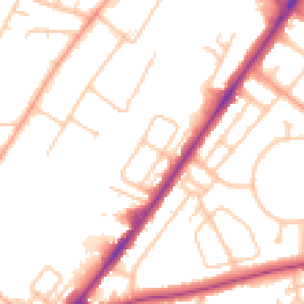
Daytime· 07:00 – 23:00
50.5dB

Night-time· 23:00 – 07:00
41.0dB