9 Ashford Drive, Shrewsbury, SY1 3HH
About 9 Ashford Drive
9 Ashford Drive is a three-bedroom semi-detached house in Shrewsbury (SY1 3HH). It has a recorded floor area of 87 m² (around 936 sq ft), construction records dating it to 1967-1975 and council tax band B. The latest certificate (August 2017) shows a D (score 67), on the cusp of jumping into the C band. The recommended improvements would lift it to B (score 84), a 2-band jump. Records show the property has been extended at some point in its history. The home occupies a cul-de-sac position.
2 planning records sit against the property, 2 approved, 0 refused. Past consents include an extension and partial demolition, meaningful when judging how the property has evolved. It lags the bulk of the postcode on energy efficiency (less efficient than 75% of similar EPCs). Across 2005–2020, sale prices on this property compounded at 1.4% per year. Today's modelled estimate of £253,000 is 28.4% above the 2020 sale price. On a £-per-square-foot basis, the last sale (£210/sq ft) was about 37.7% above the typical sold price in the postcode. Last sale on file: £197,000 in October 2020.
What this property has
Inside
- Bedrooms3
- Open-plan layoutYes
- Dining roomYes
Outside
- Private gardenRear
- GarageSingle, Detached
- Cul-de-sacYes
Building
- Previously extendedYes
Everything you need to know about 9 Ashford Drive
The true value, the hidden risks and the full sale history, in one report.
30-day money-back guarantee

The data behind every report


Energy performance
Recommended upgrades on file would lift this property by multiple EPC bands.
EPC Rating
Planning history
Planning history includes recorded demolition works, indicating a major rebuild phase at this address.
- Nov 2021DemolitionFullIn report
Extension: Two storey · Side of property
Demolition Existing Single Storey Garage and the Erection of two storey side extension
Extension- Documents
- 8 docs on file
- Reference
- 21/04521/FUL
- Apr 2007ExtensionFullIn report
Extension: Single storey · Front of property
Erection of a single storey extension to front
- Documents
- 5 docs on file
- Reference
- SA/07/0296/F
We flagged 1 thing worth checking at 9 Ashford Drive
Independent checks surfaced things a buyer would want to understand before offering. The report explains each one in full, with the underlying data and what to ask.
- Larger development activity nearby
30-day money-back guarantee
Sales history & valuation
9 Ashford Drive's sale-price growth has lagged the wider UK trajectory across its history on file.
£253,000
Modelled from EPC, postcode comparables and a sale-price growth of 1.4% per year over 15 years.
£197,000
Growth on file: 1.4% per year over 15 years.
Sales timeline
1 October 2020Most recent
£197,000
+6.5%over 2 years30 November 2017
£185,000
+15.7%over 12 years6 July 2005
£159,950
Median price across the last 5 sales in SY1 3HH: £204,000 (2023–2017).
Nearby sales in SY1 3HH
Versus other Ashford Drive homes
On epc rating, 9 Ashford Drive runs well behind the street norm.
Price per m²
£2,264
Street avg £1,917
Floor Area
87 m²
Street avg 91 m²
Habitable Rooms
5 rooms
Street avg 6 rooms
CO₂ Emissions
3.3 t/year
Street avg 3.5 t/year
Everything you need to know about 9 Ashford Drive
The true value, the hidden risks and the full sale history, in one report.
30-day money-back guarantee
The data behind every report
Similar properties nearby
The neighbourhood at a glance
Reported crime in the wider district is trending notably upward year-on-year.
Crime
10/mo
Rising year-on-year across the wider district.
Nearest stop
2.6 km
Shrewsbury Rail Station — railway station.
Closest school
0.2 km
Grange Primary School. 12 schools nearby.
Go deeper on the local area
The full report breaks down crime, transport links, schools and air quality in depth.
Road noise across the postcode
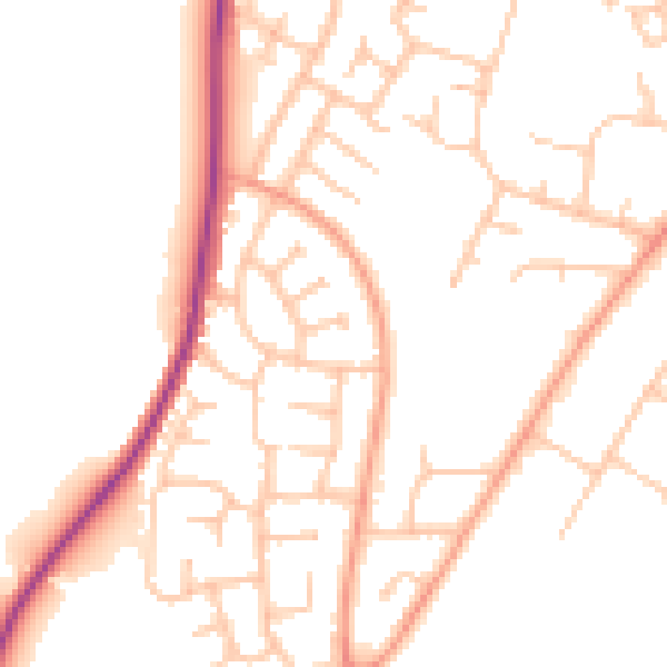
Daytime· 07:00 – 23:00
49.5dB

Night-time· 23:00 – 07:00
39.9dB