16 Ashford Drive, Shrewsbury, SY1 3HH
About 16 Ashford Drive
16 Ashford Drive is a three-bedroom semi-detached house in Shrewsbury (SY1 3HH). It has a recorded floor area of 84 m² (around 904 sq ft), construction records dating it to 1976-1982 and council tax band C. The latest certificate (August 2025) shows a C (score 75), near the top of the C band. When first surveyed in September 2014 the rating was D, the property has climbed 1 band since. Between certificates, hot-water efficiency went from Poor to Good and lighting went from Poor to Good; while window efficiency dropped from Good to Average. The recommended improvements would push it to B (score 81).
Today's modelled estimate of £243,000 sits 68.8% above the 2014 sale of £144,000. 12 years since the last transfer (July 2014).
What this property has
Inside
- Bedrooms3
Everything you need to know about 16 Ashford Drive
The true value, the hidden risks and the full sale history, in one report.
30-day money-back guarantee

The data behind every report


Energy performance
EPC Rating
Property Improvements
Changes detected from historical EPC data
Heating controls upgraded for better temperature management
Hot water system upgraded
More low energy lighting installed
Planning history
16 Ashford Drive has no planning applications on record.
Notable planning nearby
2applications of note in the surrounding area
We flagged 1 thing worth checking at 16 Ashford Drive
Independent checks surfaced things a buyer would want to understand before offering. The report explains each one in full, with the underlying data and what to ask.
- Larger development activity nearby
30-day money-back guarantee
Sales history & valuation
16 Ashford Drive valuation sits well clear of the typical sold price in this postcode.
£243,000
Modelled from EPC, postcode comparables.
£144,000
Recorded with HM Land Registry.
Sales timeline
3 July 2014Most recent
£144,000
Median price across the last 5 sales in SY1 3HH: £204,000 (2023–2020).
Nearby sales in SY1 3HH
Versus other Ashford Drive homes
EPC Rating for 16 Ashford Drive runs comfortably ahead of the street norm.
Price per m²
£1,714
Street avg £1,967
Floor Area
84 m²
Street avg 92 m²
Habitable Rooms
5 rooms
Street avg 6 rooms
CO₂ Emissions
2.3 t/year
Street avg 3.6 t/year
Everything you need to know about 16 Ashford Drive
The true value, the hidden risks and the full sale history, in one report.
30-day money-back guarantee
The data behind every report
Similar properties nearby
The neighbourhood at a glance
Reported crime in the wider district is trending notably upward year-on-year.
Crime
10/mo
Rising year-on-year across the wider district.
Nearest stop
2.6 km
Shrewsbury Rail Station — railway station.
Closest school
0.2 km
Grange Primary School. 12 schools nearby.
Go deeper on the local area
The full report breaks down crime, transport links, schools and air quality in depth.
Road noise across the postcode
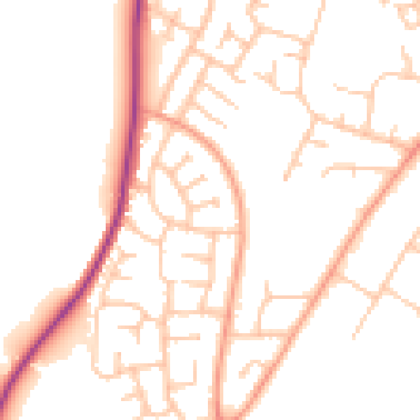
Daytime· 07:00 – 23:00
49.5dB

Night-time· 23:00 – 07:00
39.9dB