5 Benbow Quay, Shrewsbury, SY1 2DL
About 5 Benbow Quay
5 Benbow Quay is a mid-terrace house in Shrewsbury (SY1 2DL). It has a recorded floor area of 74 m² (around 797 sq ft), construction records dating it to 2003-2006 and council tax band B. The latest certificate (September 2019) shows a D (score 62), on the cusp of jumping into the C band. When first surveyed in March 2009 the rating was E, the property has climbed 1 band since. Between certificates, lighting went from Good to Very Good; while window efficiency dropped from Good to Average and hot-water efficiency dropped from Average to Poor. The recommended improvements would lift it to B (score 87), a 2-band jump. Main heating runs on electricity.
Across 2005–2011, sale prices on this property compounded at -17.4% per year. Today's modelled estimate of £174,000 sits 370.3% above the 2011 sale of £37,000. On a £-per-square-foot basis, the last sale (£46/sq ft) was about 79.1% below the postcode norm. At 74 m² it's 27.6% larger than the typical home in the postcode (58 m² median across 89 EPCs). On the market in November 2011 and unlisted since — roughly 15 years.
Everything you need to know about 5 Benbow Quay
The true value, the hidden risks and the full sale history, in one report.
30-day money-back guarantee

The data behind every report


Energy performance
Recommended upgrades on file would lift this property by multiple EPC bands.
EPC Rating
Property Improvements
Changes detected from historical EPC data
Hot water efficiency decreased
Planning history
5 Benbow Quay has no planning applications on record.
Notable planning nearby
2applications of note in the surrounding area
Sales history & valuation
£174,000
Modelled from EPC, postcode comparables and a sale-price growth of -17.4% per year over 6 years.
£37,000
Growth on file: -17.4% per year over 6 years.
Sales timeline
11 November 2011Most recent
£37,000
-67.5%over 5 years20 December 2005
£114,000
Median price across the last 5 sales in SY1 2DL: £145,000 (2025–2025).
Nearby sales in SY1 2DL
Versus other Benbow Quay homes
Price per m² for 5 Benbow Quay lags the street by a wide margin.
Price per m²
£500
Street avg £1,996
Floor Area
74 m²
Street avg 80 m²
Habitable Rooms
3 rooms
Street avg 4 rooms
CO₂ Emissions
3.6 t/year
Street avg 3.1 t/year
Everything you need to know about 5 Benbow Quay
The true value, the hidden risks and the full sale history, in one report.
30-day money-back guarantee
The data behind every report
Similar properties nearby
1 Bage Terrace, St Michaels Street
SY1 2HA
1 Albert Street
SY1 2HT
1 Broome Place
SY1 2DS
1 Cornmill Square
SY1 2LQ
1 Albury Place, St Michaels Street
SY1 2ET
1 Beaumont Terrace, John Street
SY1 2SD
1 Benbow Quay
SY1 2DL
1 Berwick Close
SY1 2LR
The neighbourhood at a glance
Rail-style transport is unusually close for this postcode.
Crime
10/mo
Rising year-on-year across the wider district.
Nearest stop
0.3 km
Shrewsbury Rail Station — railway station.
Closest school
0.7 km
Greenfields Primary School. 21 schools nearby.
Go deeper on the local area
The full report breaks down crime, transport links, schools and air quality in depth.
Road noise across the postcode
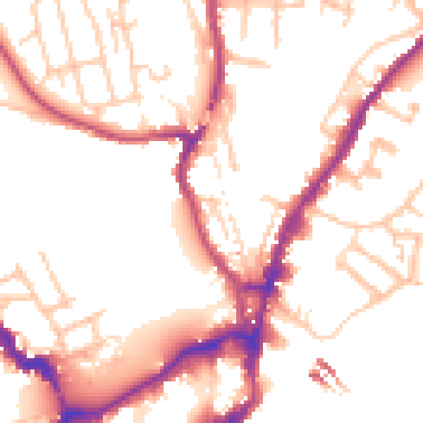
Daytime· 07:00 – 23:00
52.0dB

Night-time· 23:00 – 07:00
43.6dB