19 Sandylands Crescent, Church Lawton, Stoke On Trent, ST7 3DS
About 19 Sandylands Crescent
19 Sandylands Crescent is a property in Church Lawton, Stoke-On-Trent, Stoke On Trent (ST7 3DS). It has council tax band D.
Held since September 2005 — that's 21 years off the open market, well above the local norm. Across 1998–2005, sale prices on this property compounded at 15% per year.
Everything you need to know about 19 Sandylands Crescent
The true value, the hidden risks and the full sale history, in one report.
30-day money-back guarantee

The data behind every report


Energy performance
No EPC on record
This property doesn't have an Energy Performance Certificate yet. An EPC is required to sell or let — and unlocks our automated valuation.
Planning history
19 Sandylands Crescent has no planning applications on record.
The full report still covers planning activity across the surrounding area.
Sales history & valuation
Sale price has at least doubled since 1998.
£245,000
Growth on file: 15.0% per year over 7 years.
Sales timeline
29 September 2005Most recent
£245,000
+180.0%over 7 years21 May 1998
£87,500
Median price across the last 5 sales in ST7 3DS: £310,000 (2023–2020).
Nearby sales in ST7 3DS
7 Sandylands Crescent, Church Lawton, Stoke On Trent, ST7 3DS
Sold Nov 2023
£390,00018 Sandylands Crescent, Church Lawton, Stoke On Trent, ST7 3DS
Sold May 2021
£290,0008 Sandylands Crescent, Church Lawton, Stoke On Trent, ST7 3DS
Sold Dec 2020
£245,00021 Sandylands Crescent, Church Lawton, Stoke On Trent, ST7 3DS
Sold Aug 2020
£370,00015 Sandylands Crescent, Church Lawton, Stoke On Trent, ST7 3DS
Sold Feb 2020
£260,000
Everything you need to know about 19 Sandylands Crescent
The true value, the hidden risks and the full sale history, in one report.
30-day money-back guarantee
The data behind every report
Similar properties nearby
1 Bleeding Wolf Lane, Scholar Green
ST7 3BH
1 Cinderhill Lane, Scholar Green
ST7 3HX
1 Ash Grove, Rode Heath
ST7 3TD
1 Chapel Lane, Rode Heath
ST7 3SD
1 Church Cottages, Holehouse Lane, Scholar Green
ST7 3SX
1 Burns Close, Rode Heath
ST7 3UD
1 Boden Hall Cottages, Street Lane, Rode Heath
ST7 3SW
1 Alma Close, Scholar Green
ST7 3HZ
The neighbourhood at a glance
Crime
3/mo
Steady year-on-year across the wider district.
Nearest stop
0.3 km
Lawton Heath Road — bus stop.
Closest school
1.0 km
Rode Heath Primary School. 8 schools nearby.
Go deeper on the local area
The full report breaks down crime, transport links, schools and air quality in depth.
Road noise across the postcode
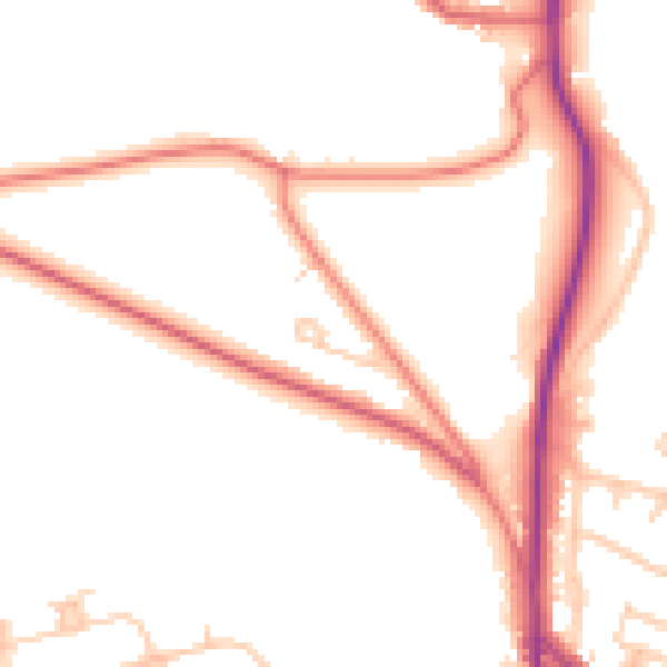
Daytime· 07:00 – 23:00
50.5dB

Night-time· 23:00 – 07:00
41.4dB