21 Sandylands Crescent, Church Lawton, Stoke On Trent, ST7 3DS
About 21 Sandylands Crescent
21 Sandylands Crescent is a three-bedroom detached house in Church Lawton, Stoke-On-Trent, Stoke On Trent (ST7 3DS). It has a recorded floor area of 123 m² (around 1324 sq ft), construction records dating it to 1967-1975 and council tax band E. The latest certificate (March 2020) shows a D (score 63), on the cusp of jumping into the C band. The recommended improvements would push it to C (score 76).
At 123 m² the property is well over the postcode median (92 m² across 11 EPCs), placing it in the larger end of the local stock. Today's modelled estimate of £496,000 is 34.1% above the 2020 sale price. On a £-per-square-foot basis, the last sale (£279/sq ft) was about 16.6% above the typical sold price in the postcode. Last sale on file: £370,000 in August 2020.
What this property has
Inside
- Bedrooms3
- Bathrooms2
Everything you need to know about 21 Sandylands Crescent
The true value, the hidden risks and the full sale history, in one report.
30-day money-back guarantee

The data behind every report


Energy performance
EPC Rating
Planning history
21 Sandylands Crescent has no planning applications on record.
The full report still covers planning activity across the surrounding area.
Sales history & valuation
The latest sale landed in the post-pandemic price surge — useful context when reading the figure.
£496,000
Modelled from EPC, postcode comparables.
£370,000
Recorded with HM Land Registry.
Sales timeline
27 August 2020Most recent
£370,000
Median price across the last 5 sales in ST7 3DS: £310,000 (2023–2020).
Nearby sales in ST7 3DS
7 Sandylands Crescent, Church Lawton, Stoke On Trent, ST7 3DS
Sold Nov 2023
£390,00018 Sandylands Crescent, Church Lawton, Stoke On Trent, ST7 3DS
Sold May 2021
£290,0008 Sandylands Crescent, Church Lawton, Stoke On Trent, ST7 3DS
Sold Dec 2020
£245,00015 Sandylands Crescent, Church Lawton, Stoke On Trent, ST7 3DS
Sold Feb 2020
£260,00010 Sandylands Crescent, Church Lawton, Stoke On Trent, ST7 3DS
Sold Sept 2019
£345,000
Versus other Sandylands Crescent homes
21 Sandylands Crescent outperforms the street on floor area by a wide margin.
Price per m²
£3,008
Street avg £2,947
Floor Area
123 m²
Street avg 100 m²
Habitable Rooms
5 rooms
Street avg 4 rooms
CO₂ Emissions
5.8 t/year
Street avg 6.1 t/year
Everything you need to know about 21 Sandylands Crescent
The true value, the hidden risks and the full sale history, in one report.
30-day money-back guarantee
The data behind every report
Similar properties nearby
1 Ash Grove, Rode Heath
ST7 3TD
1 Barber Drive, Scholar Green
ST7 3TW
1 Barleycroft Terrace, Scholar Green
ST7 3HS
1 Bracken Close, Rode Heath
ST7 3JA
1 Burns Close, Rode Heath
ST7 3UD
1 Chapel Lane, Rode Heath
ST7 3SD
1 Bleeding Wolf Lane, Scholar Green
ST7 3BH
1 Barwood Avenue, Church Lawton
ST7 3EN
The neighbourhood at a glance
Crime
3/mo
Steady year-on-year across the wider district.
Nearest stop
0.3 km
Lawton Heath Road — bus stop.
Closest school
1.0 km
Rode Heath Primary School. 8 schools nearby.
Go deeper on the local area
The full report breaks down crime, transport links, schools and air quality in depth.
Road noise across the postcode
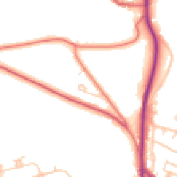
Daytime· 07:00 – 23:00
50.5dB

Night-time· 23:00 – 07:00
41.4dB